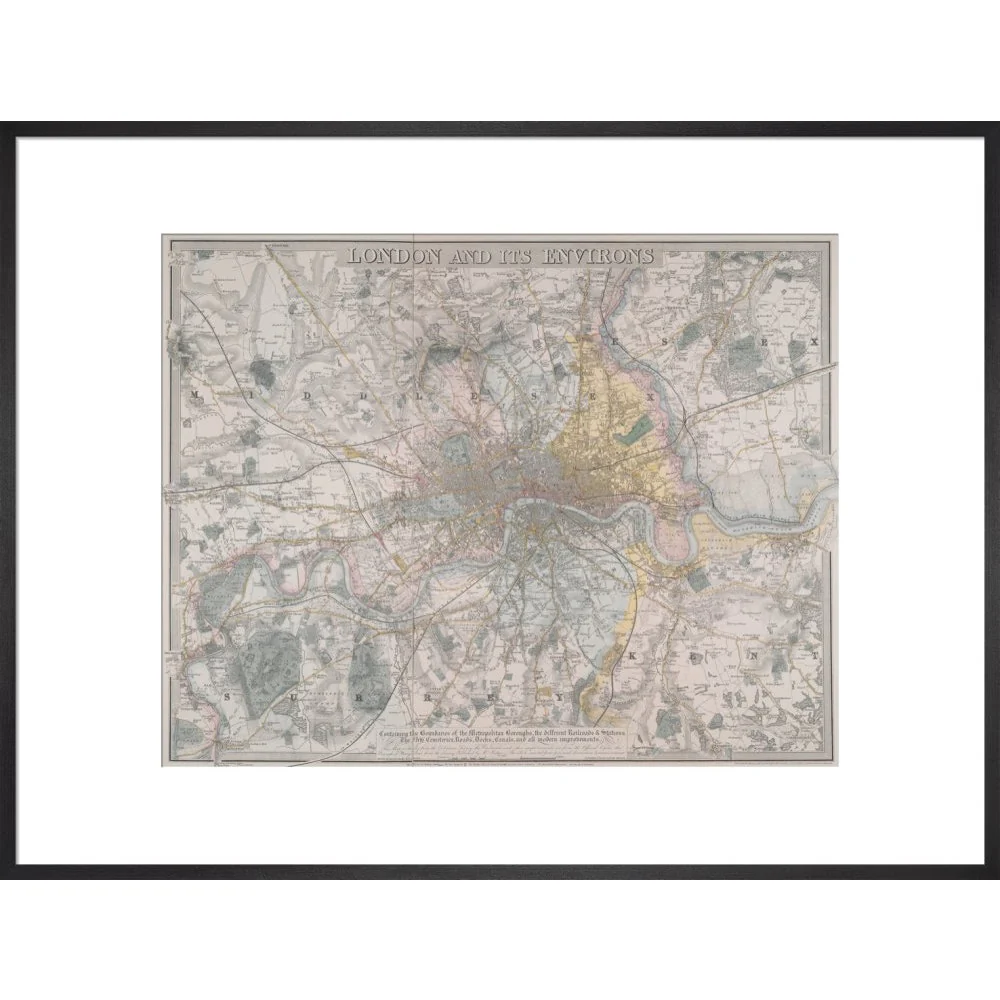
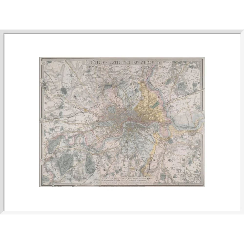
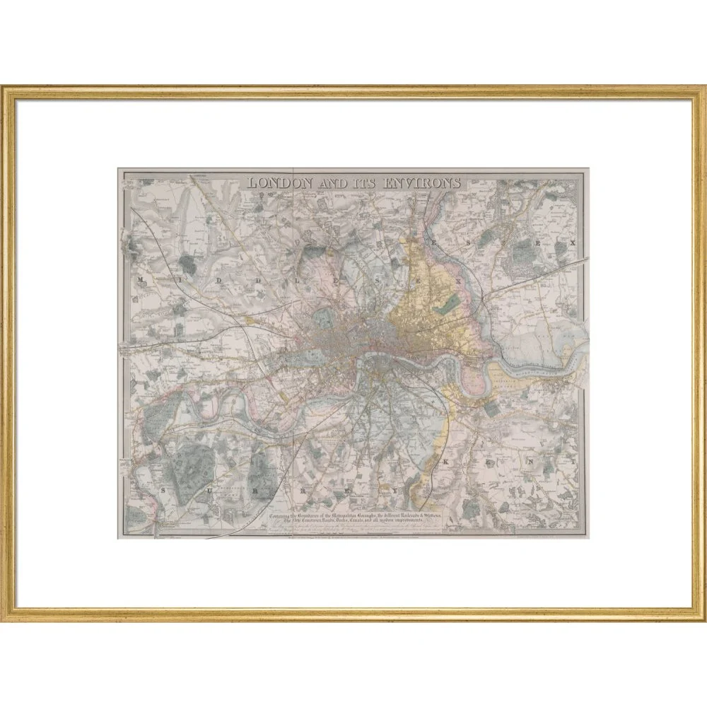
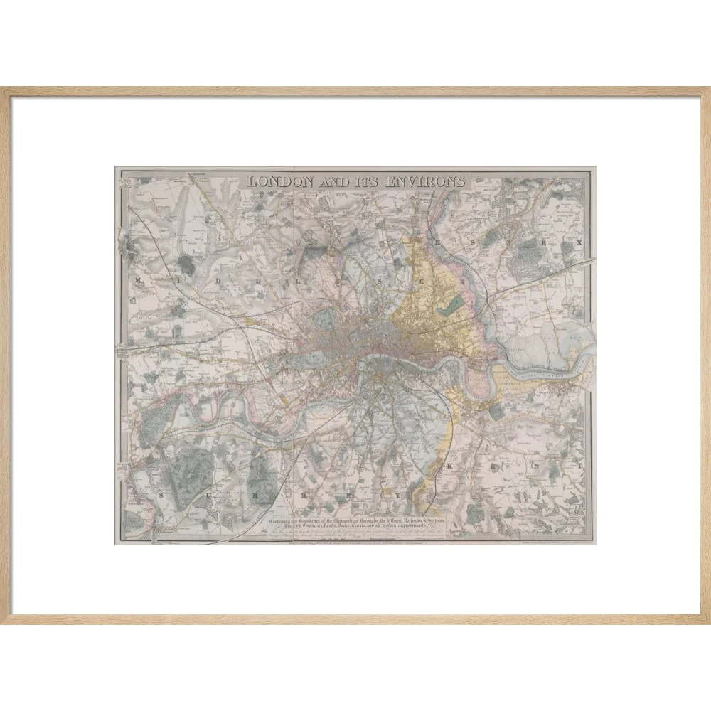
Map of London (Davis) print
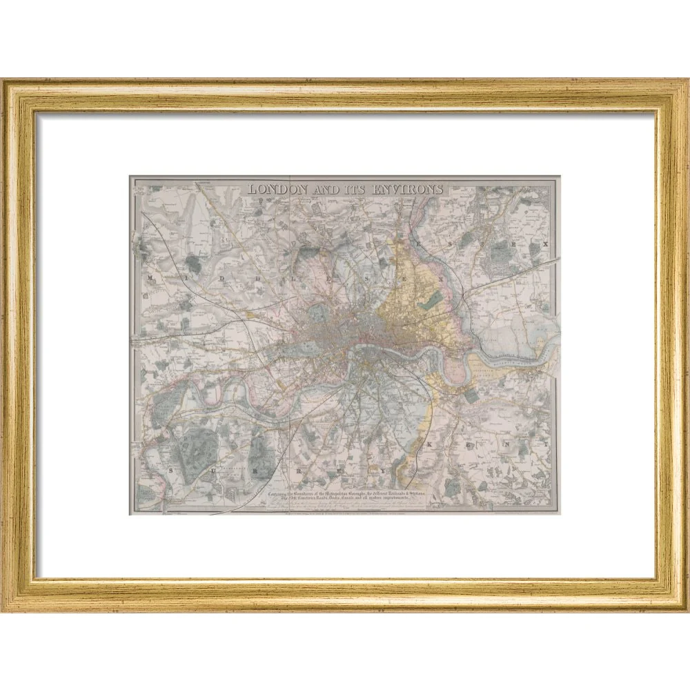
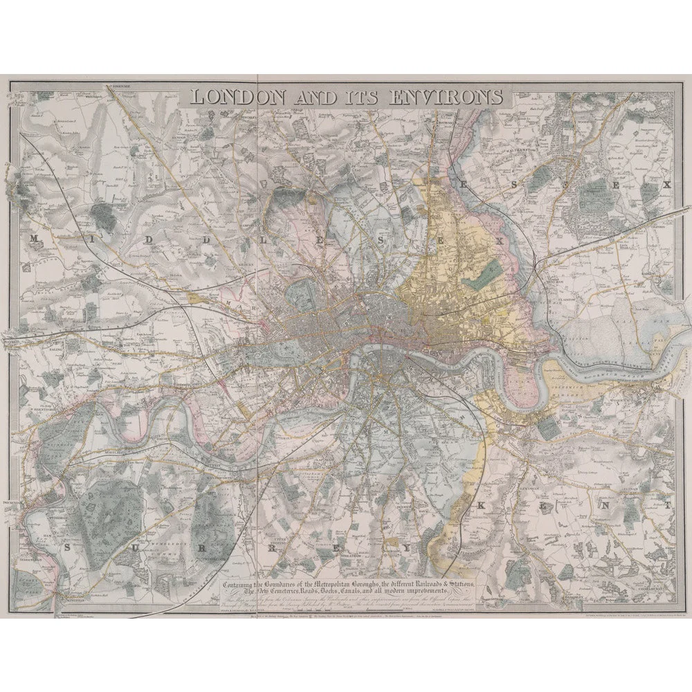
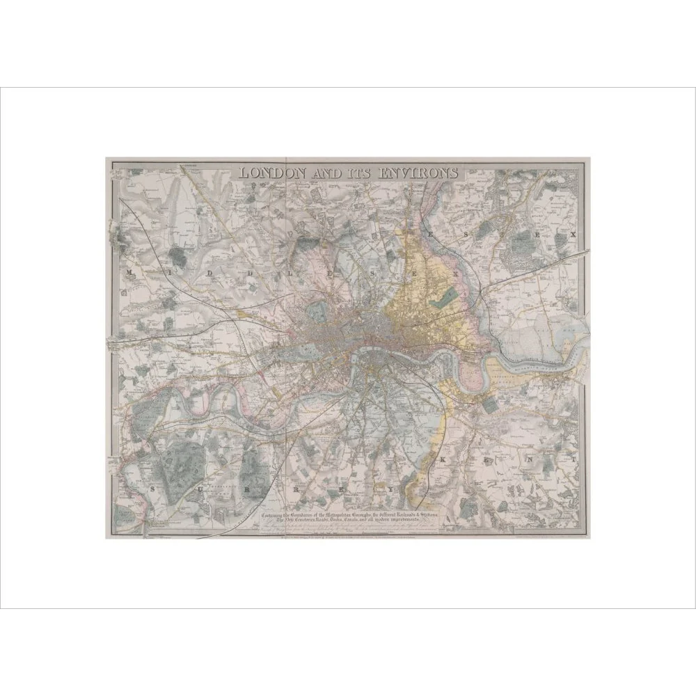
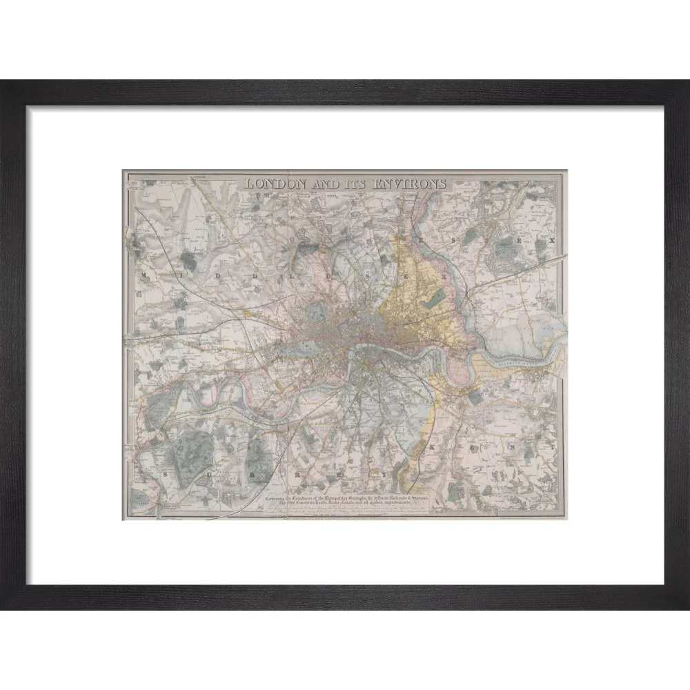
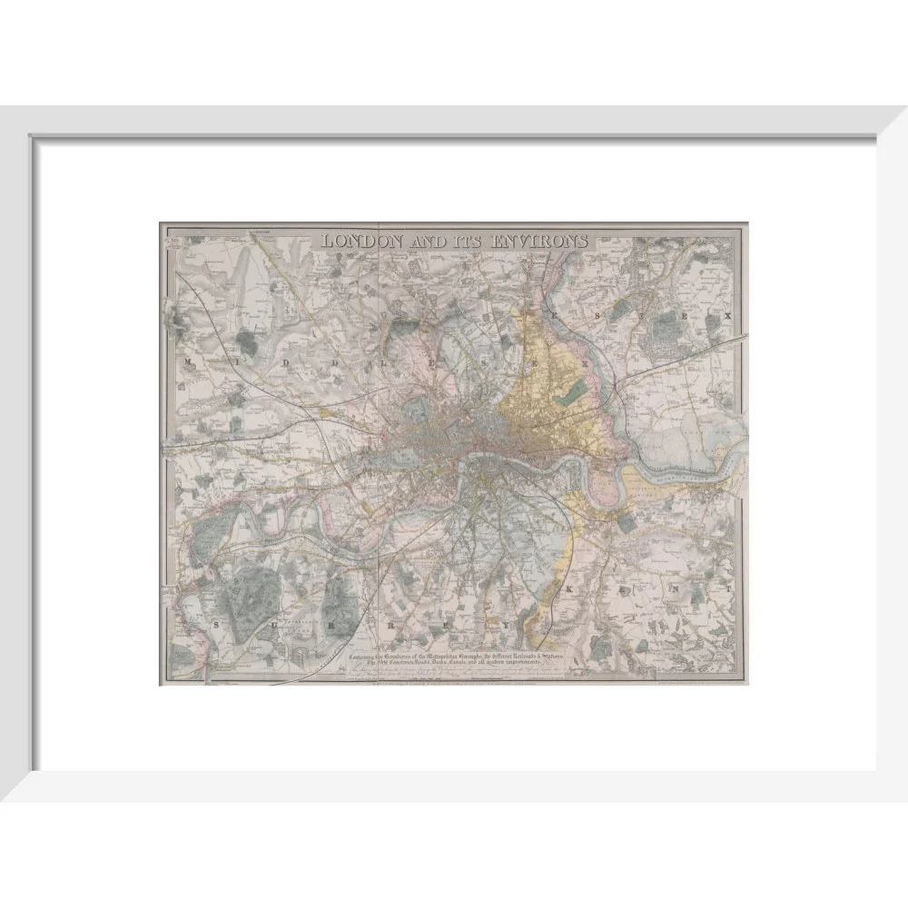
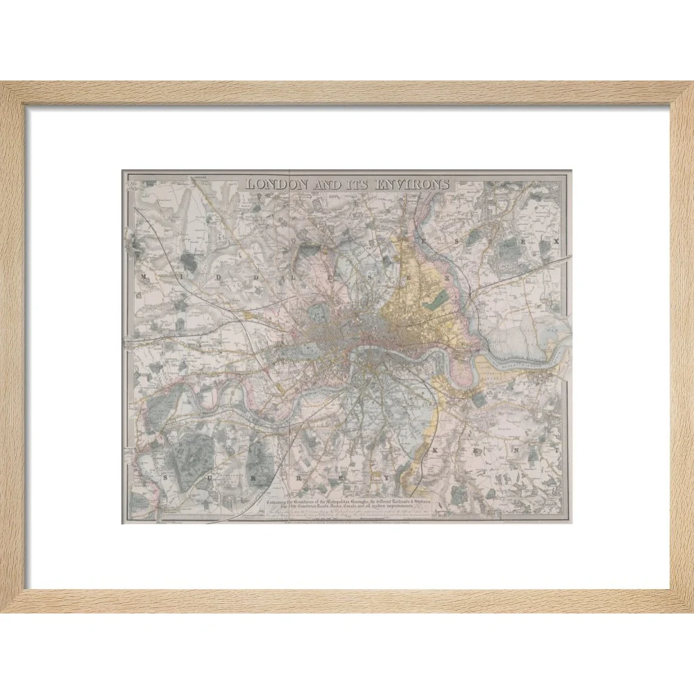
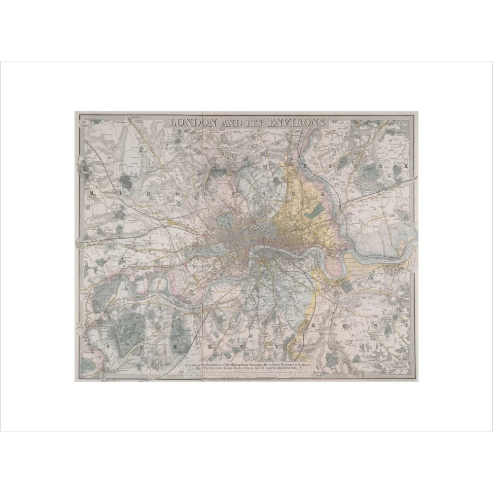
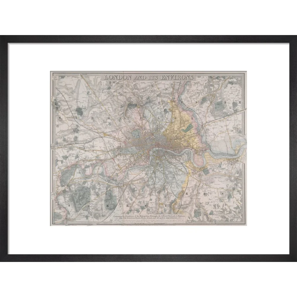
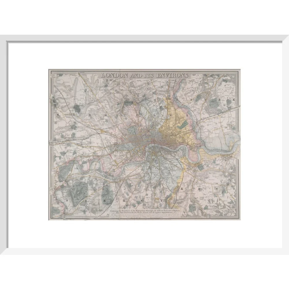
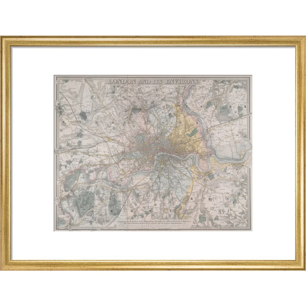
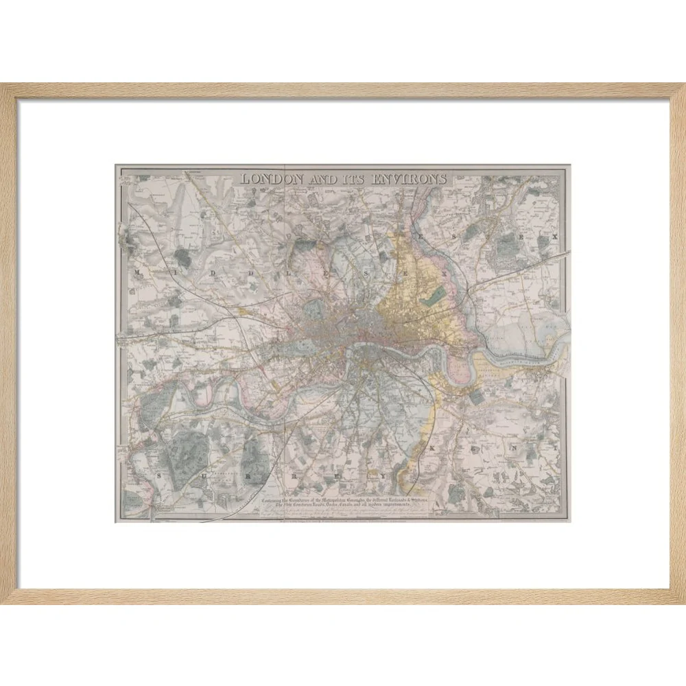
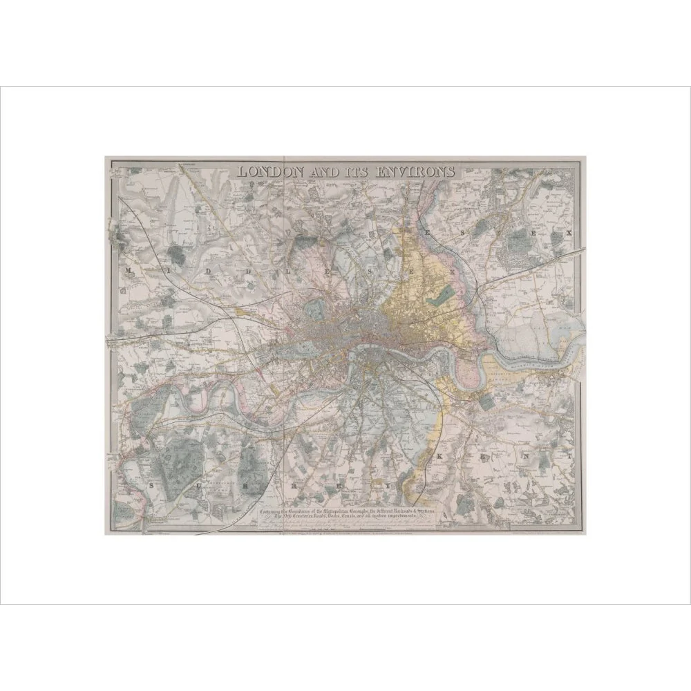
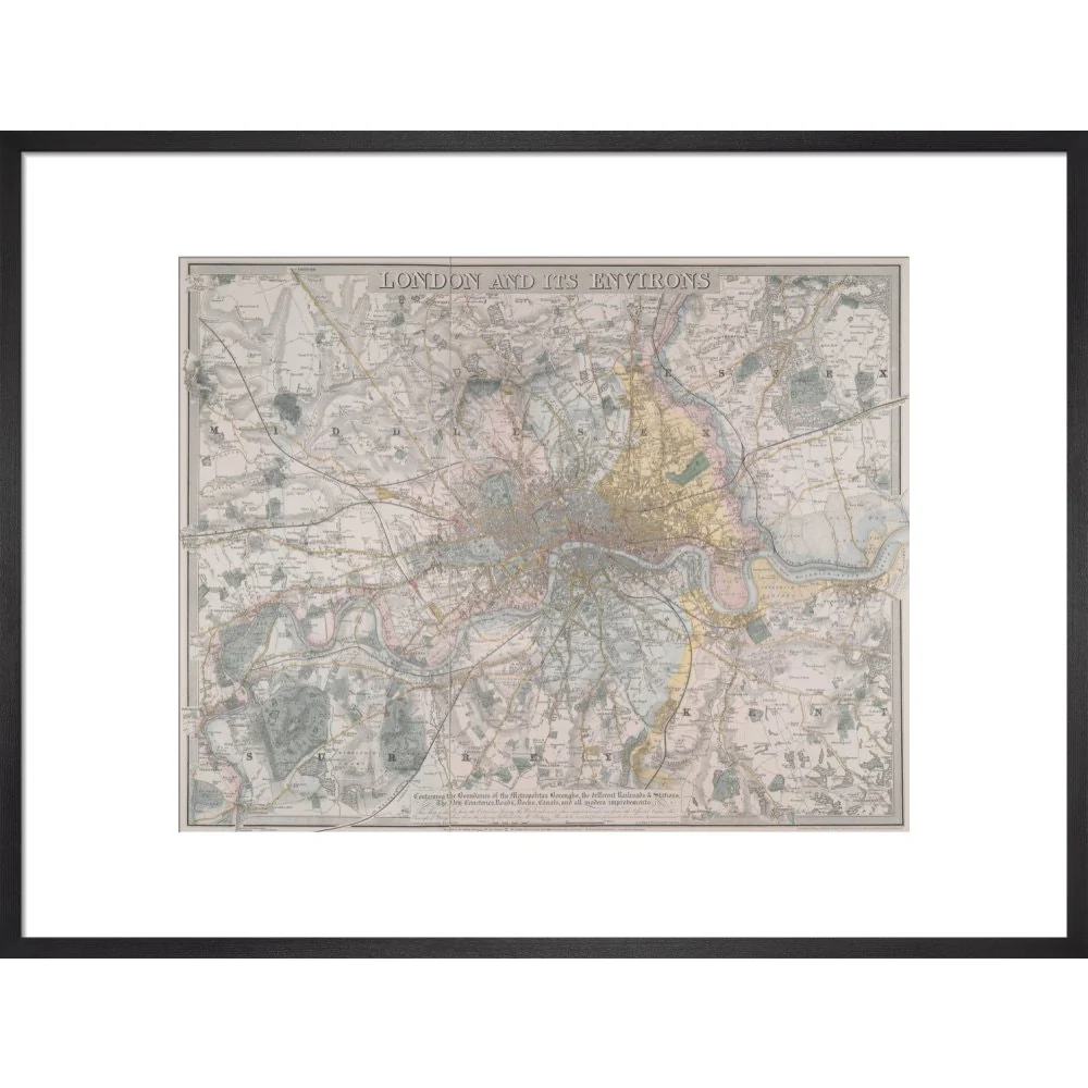
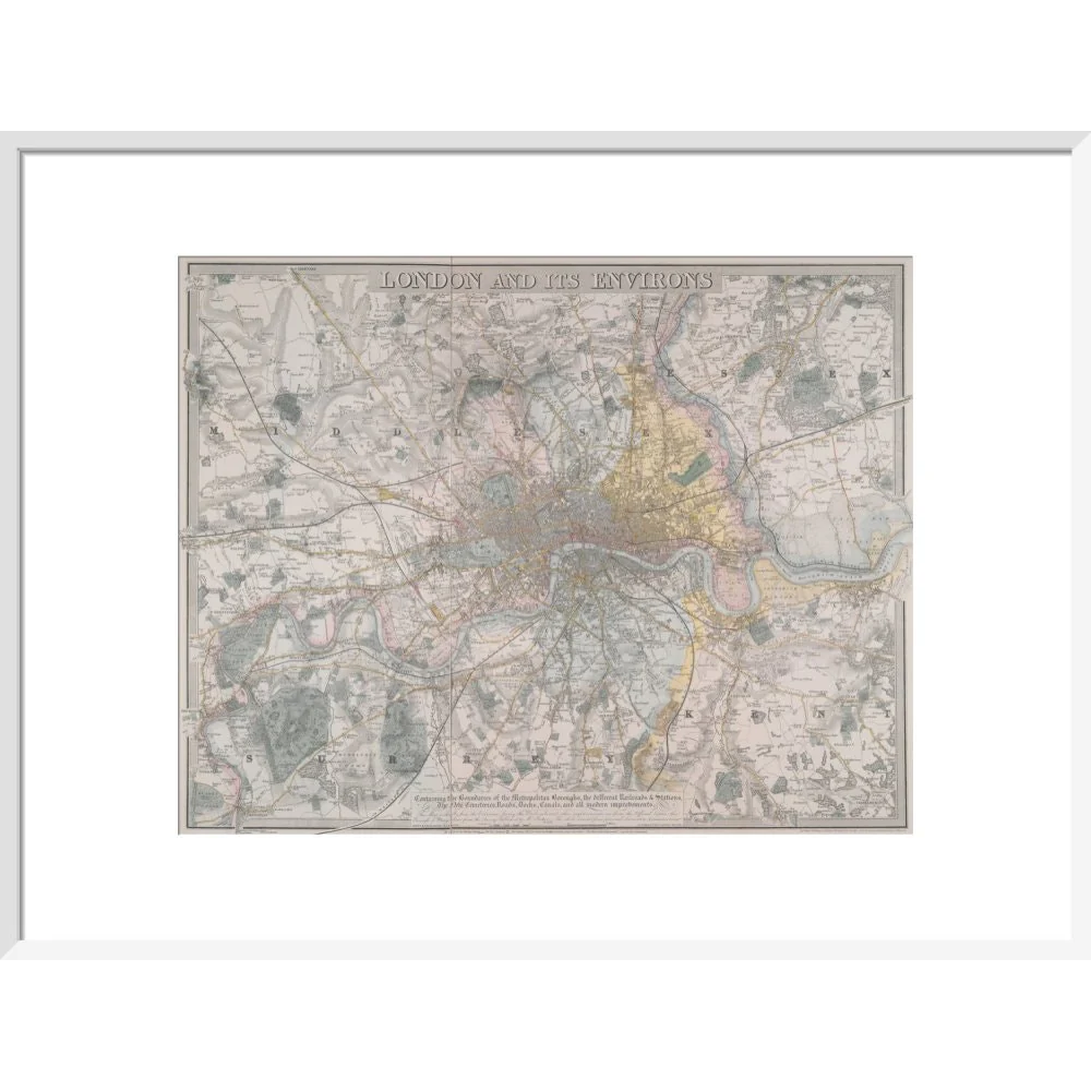
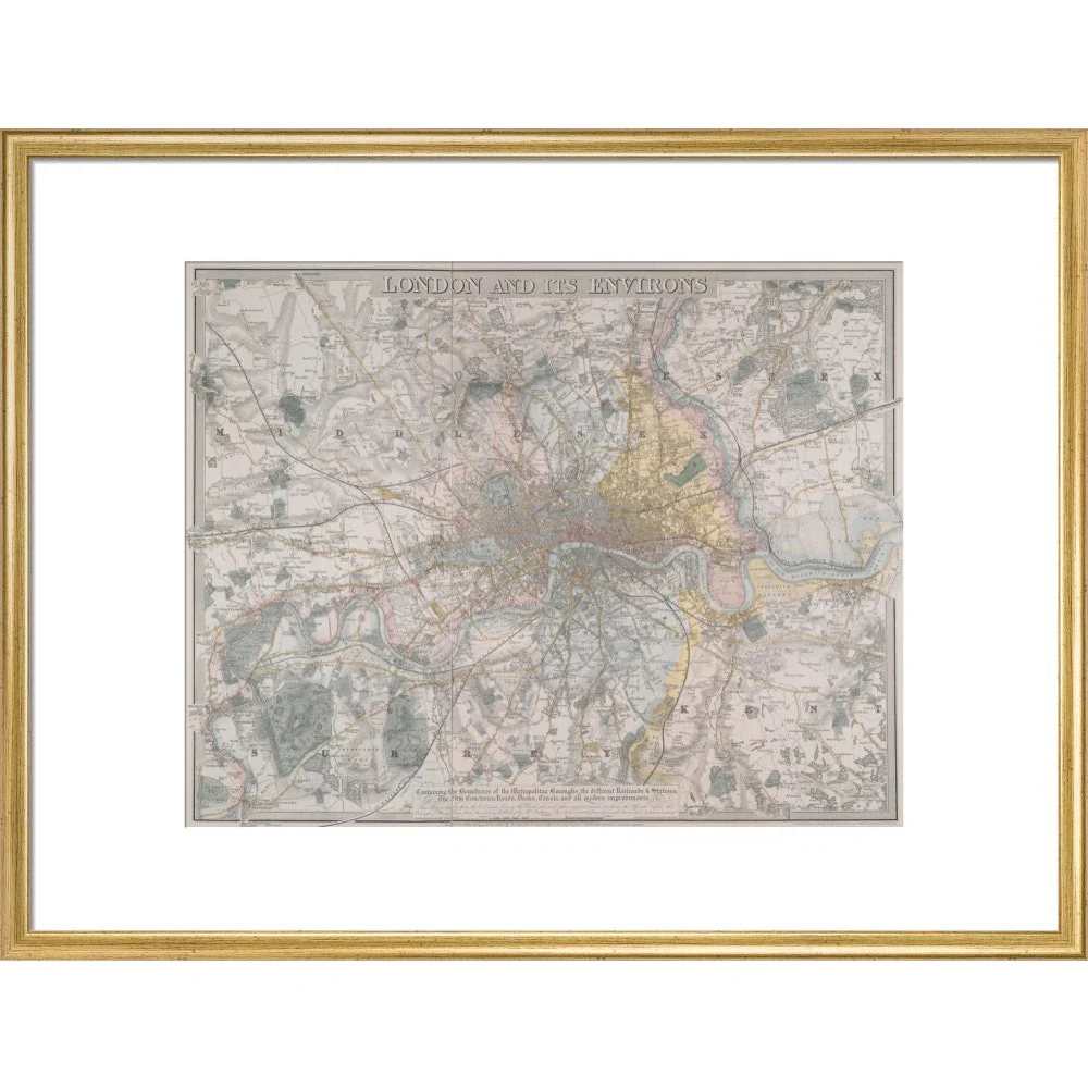
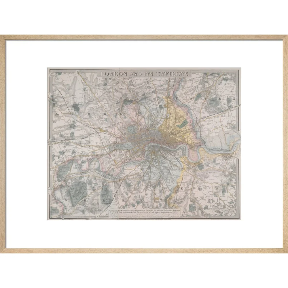
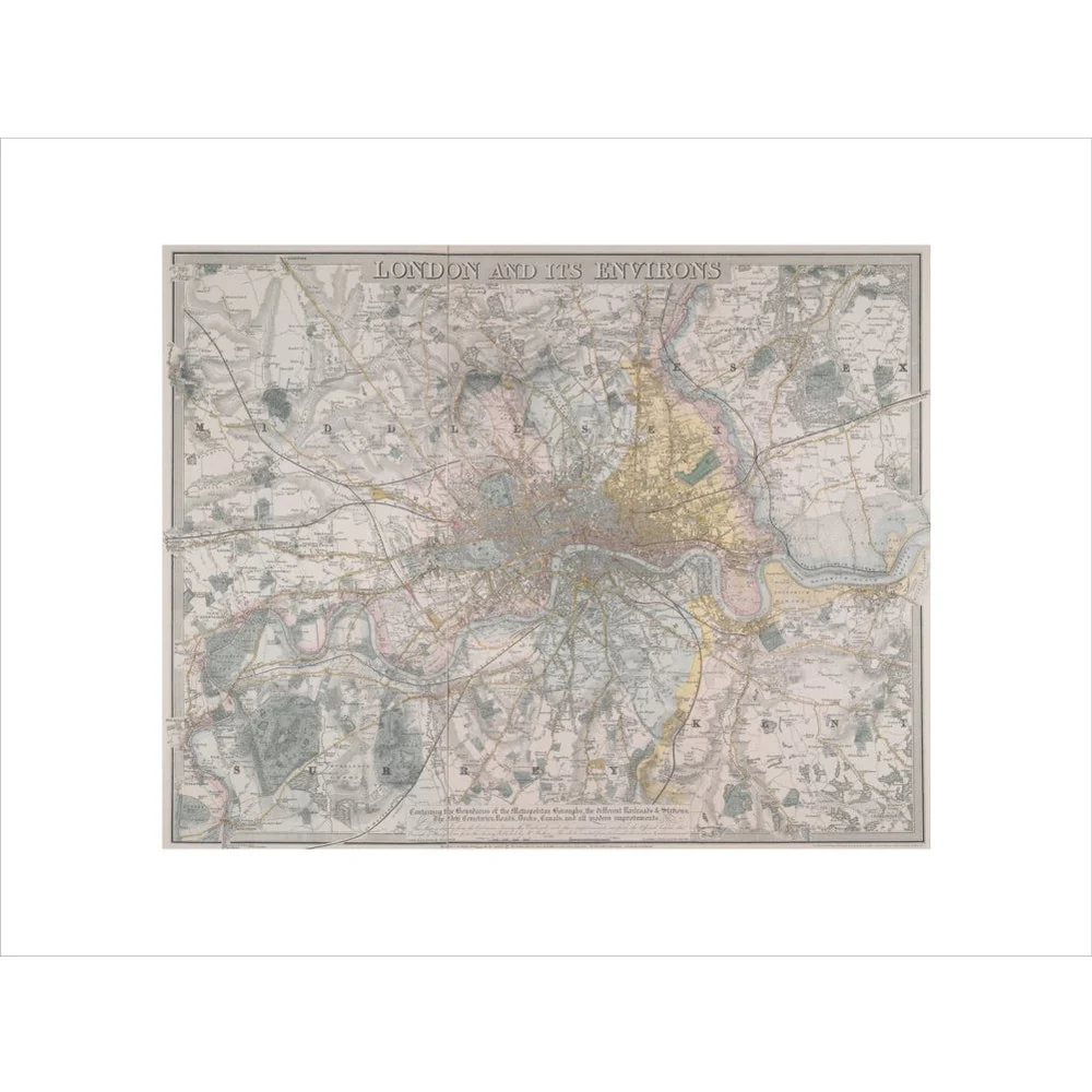
Davis' map of London and its environs of 1832 shows the transport revolution in the railway age. It runs from Streatham and Norwood in the South of London to Muswell Hill and Wood Green in the North, and from Harrow on the Hill and Hanwell in the West to Chiselhurst, Eltham and Ilford. It shows details including railway stations, cemeteries and landing piers for steam vessels. BL Maps Crace VII/248.
Creator: Davis
Original: $33.50
-65%$33.50
$11.72Product Information
Product Information
Shipping & Returns
Shipping & Returns
Description
Davis' map of London and its environs of 1832 shows the transport revolution in the railway age. It runs from Streatham and Norwood in the South of London to Muswell Hill and Wood Green in the North, and from Harrow on the Hill and Hanwell in the West to Chiselhurst, Eltham and Ilford. It shows details including railway stations, cemeteries and landing piers for steam vessels. BL Maps Crace VII/248.
Creator: Davis