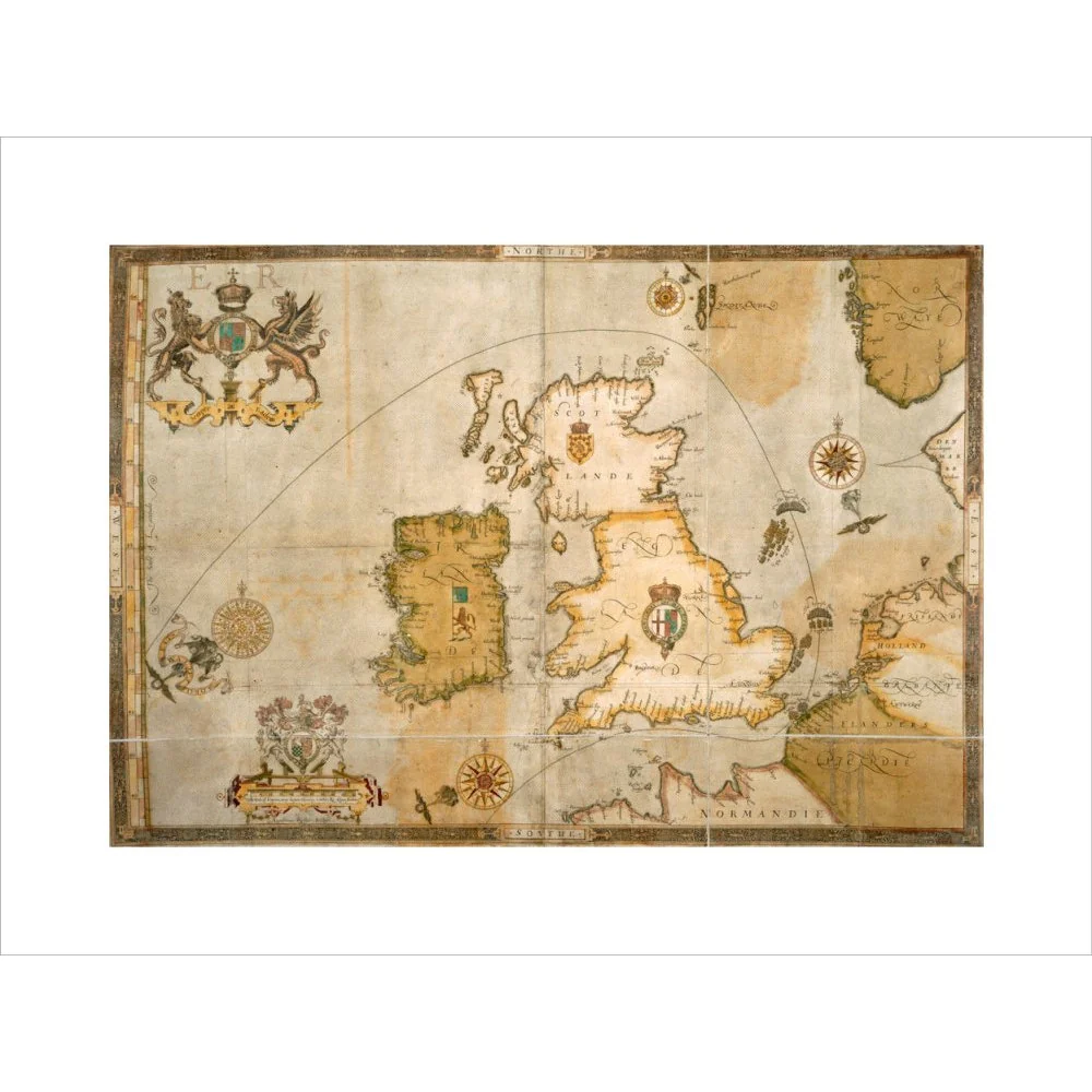
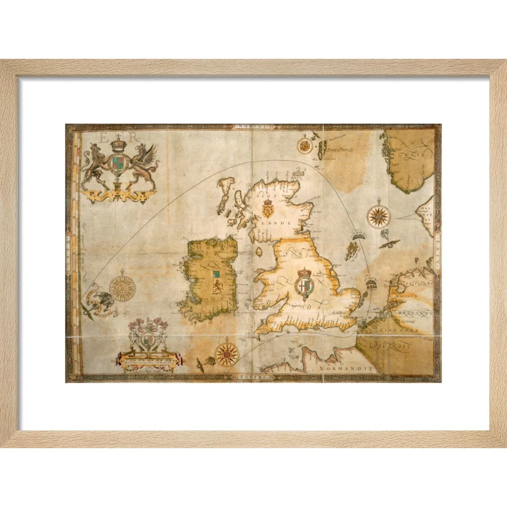
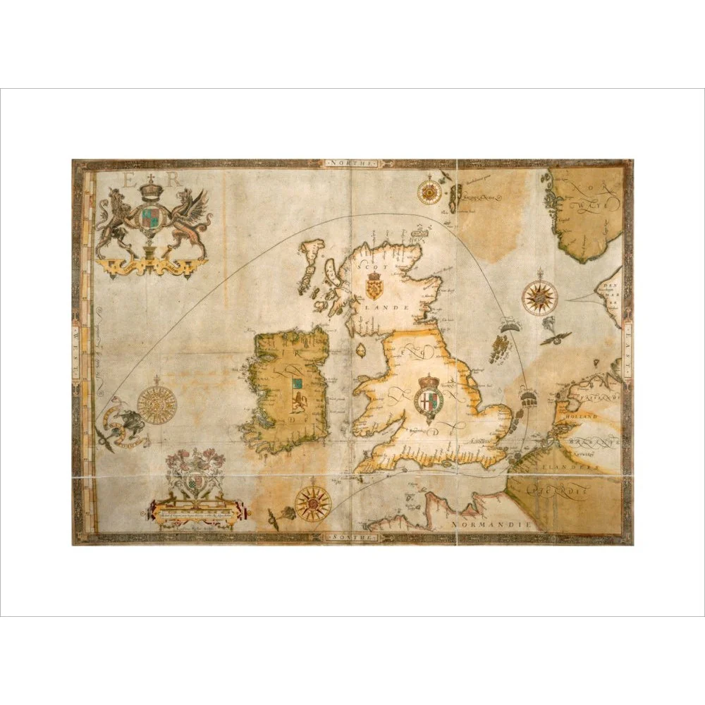
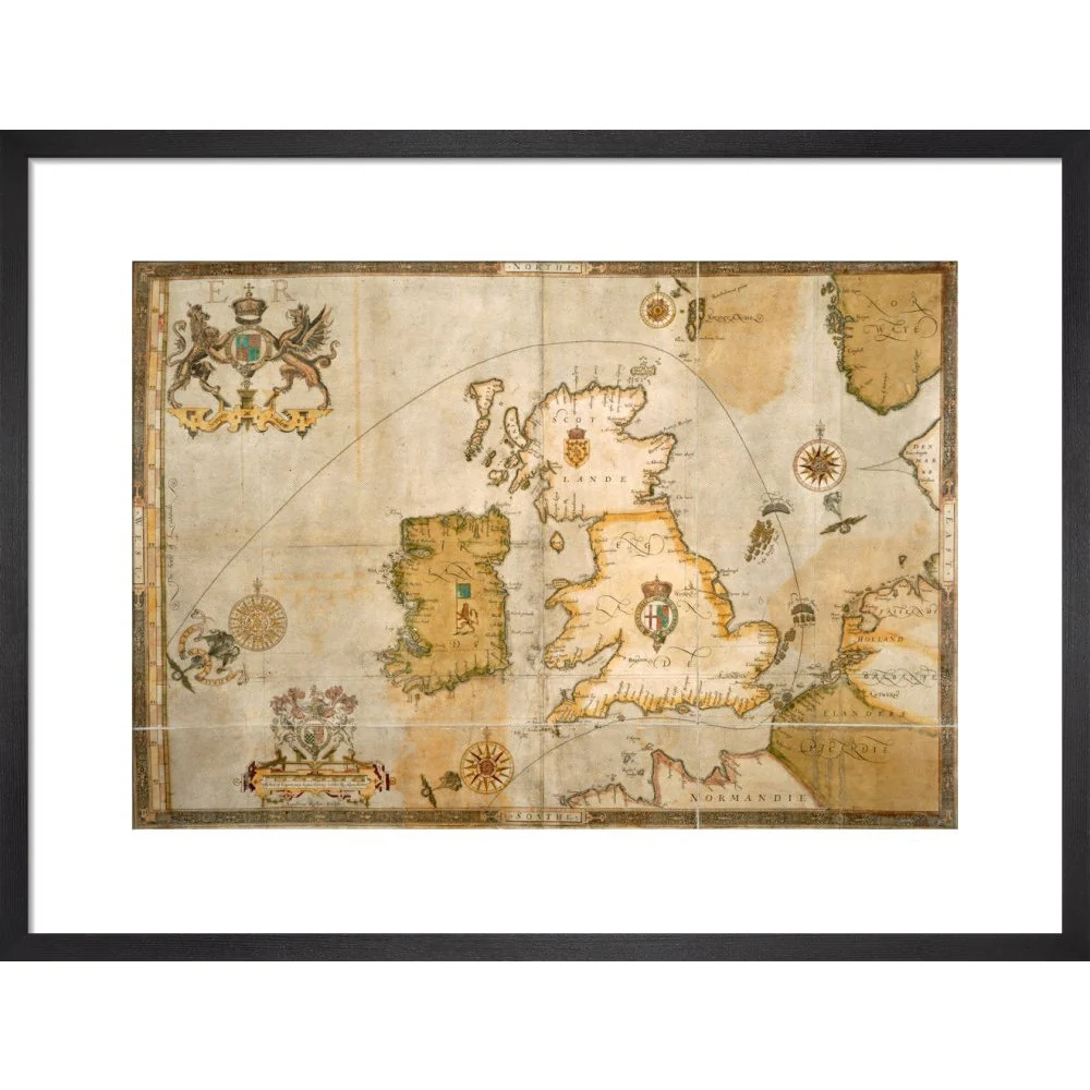
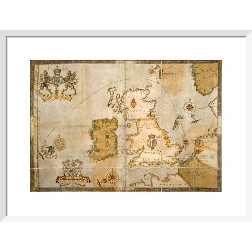
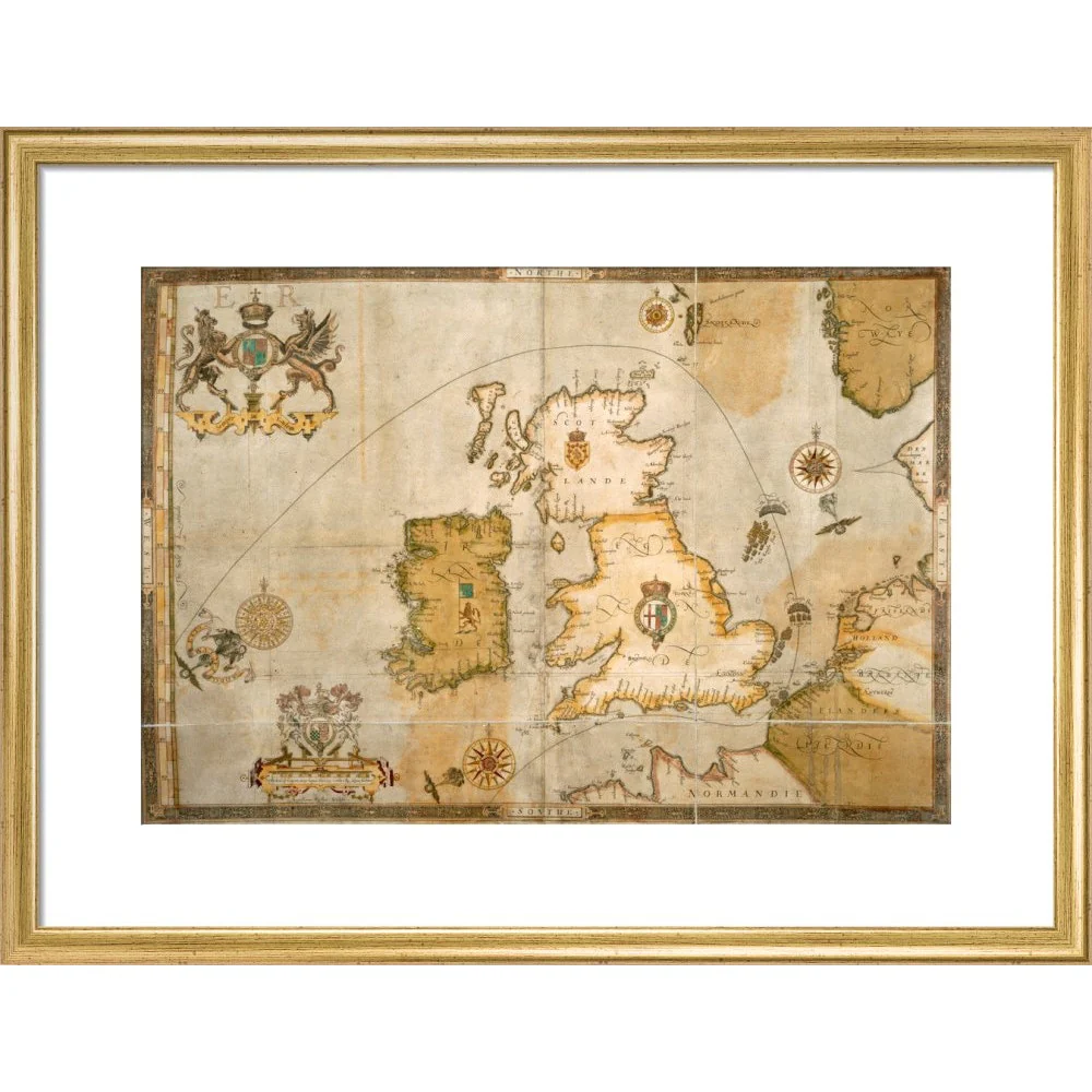
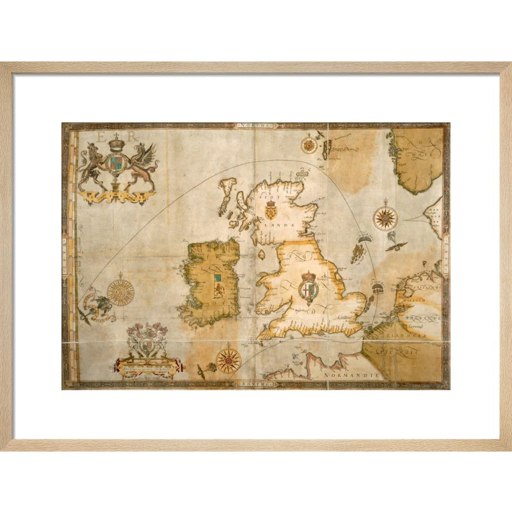
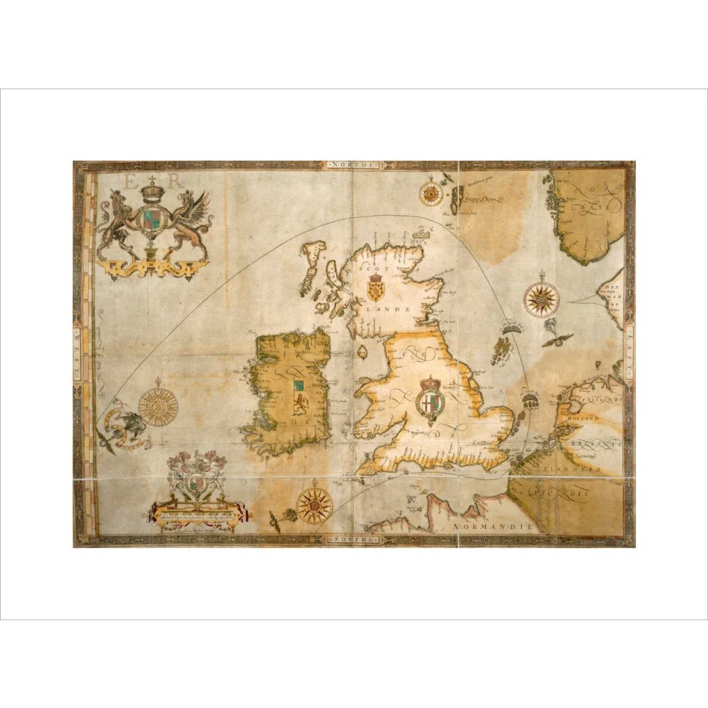
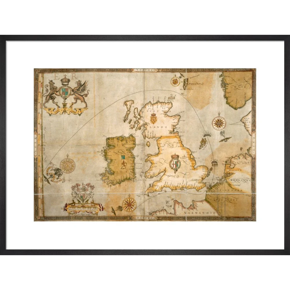

Map of the Spanish Armada and the British Isles print
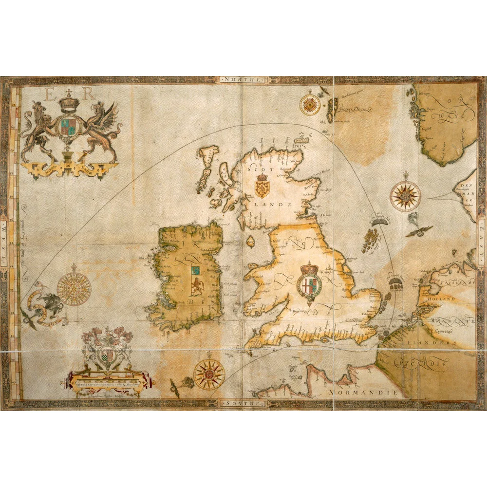
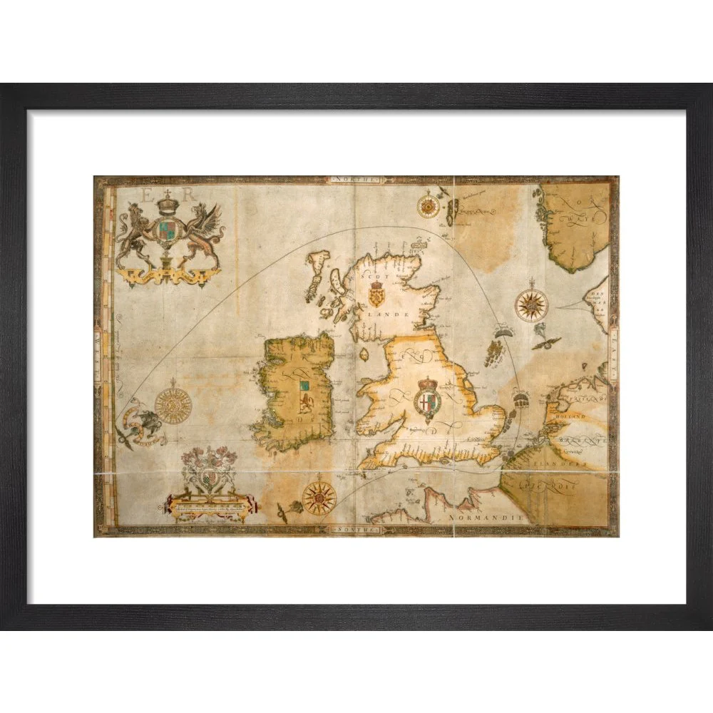
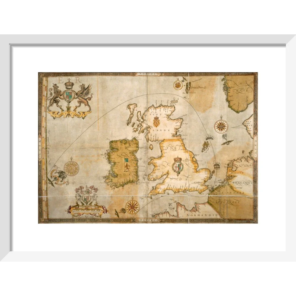
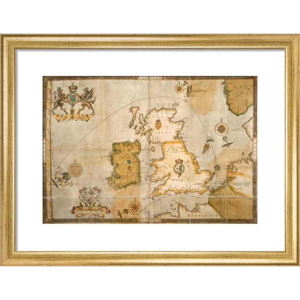
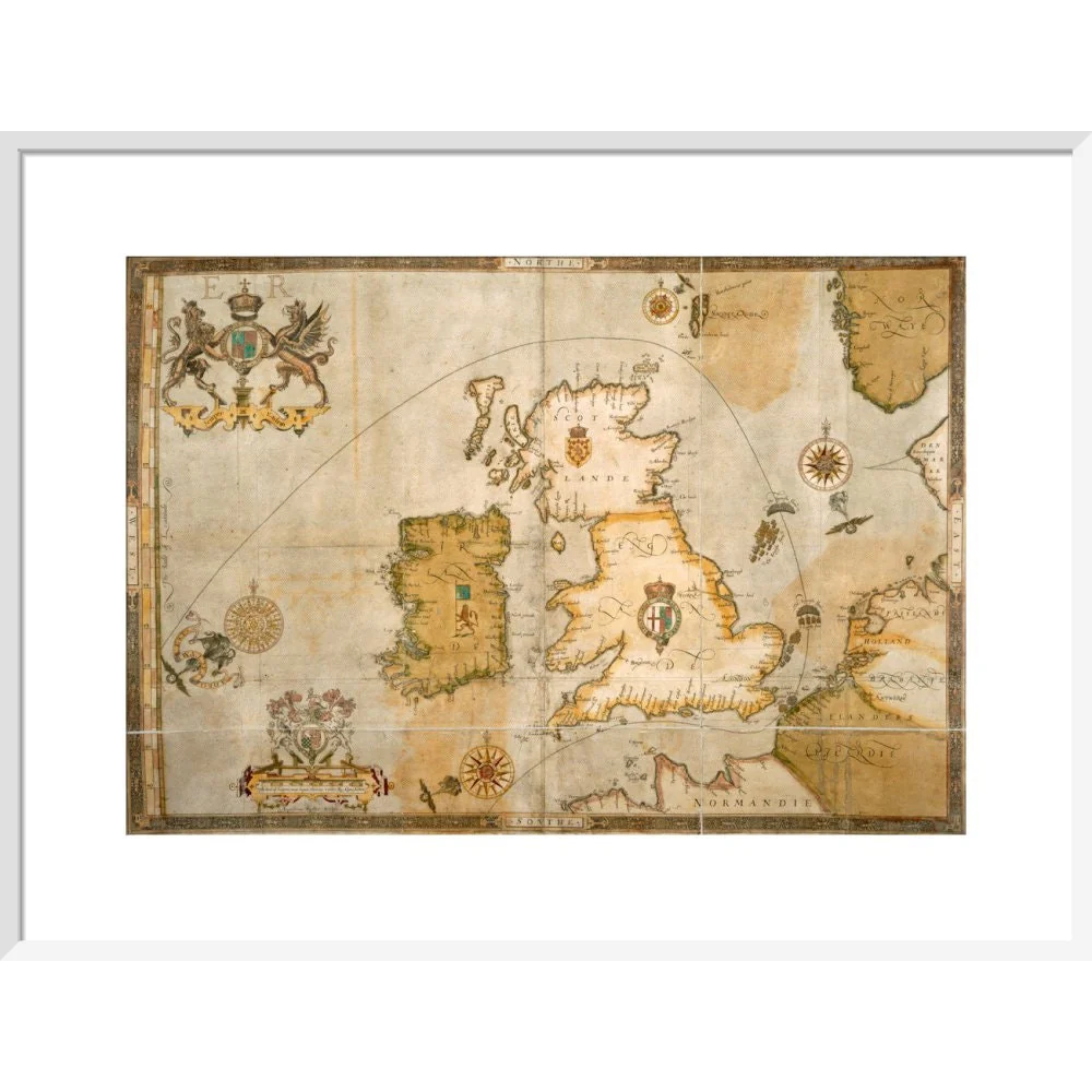
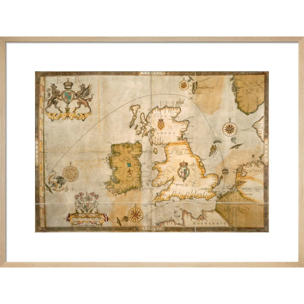
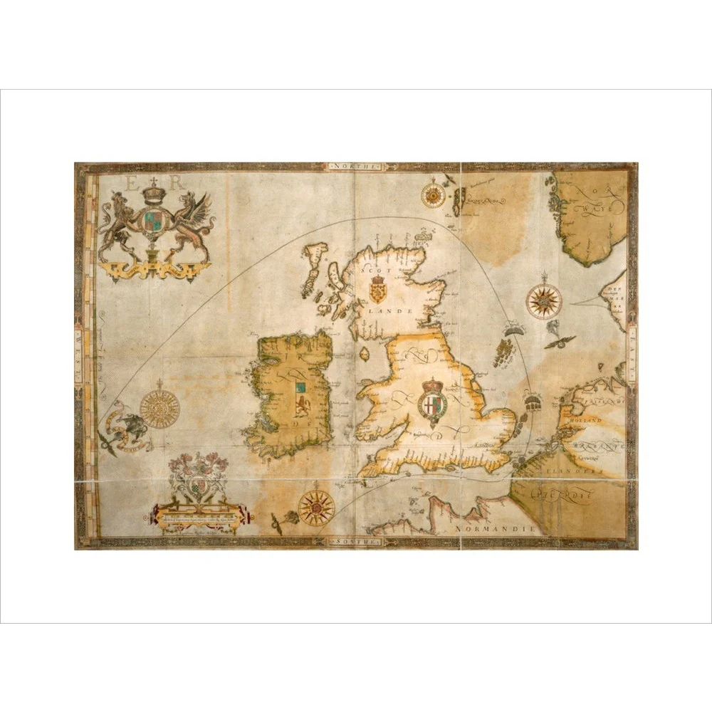
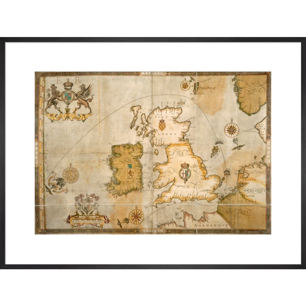
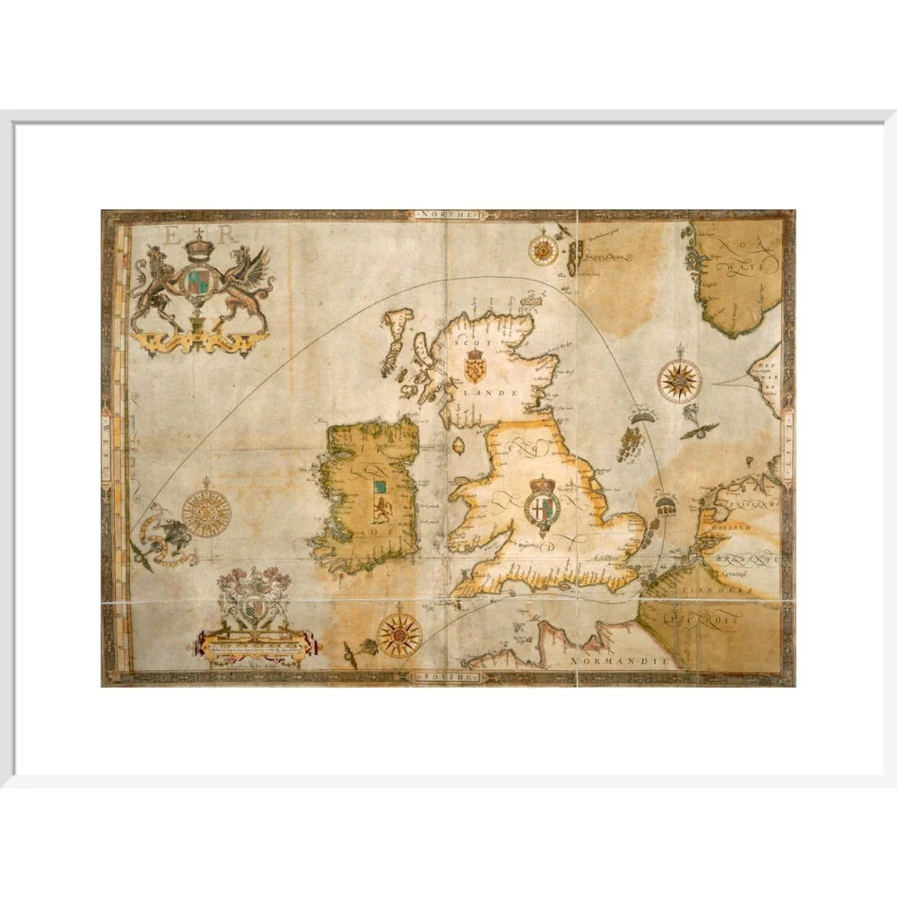
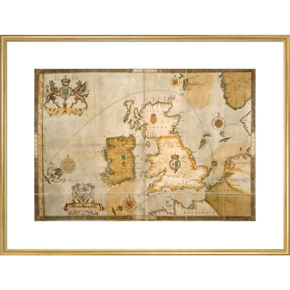
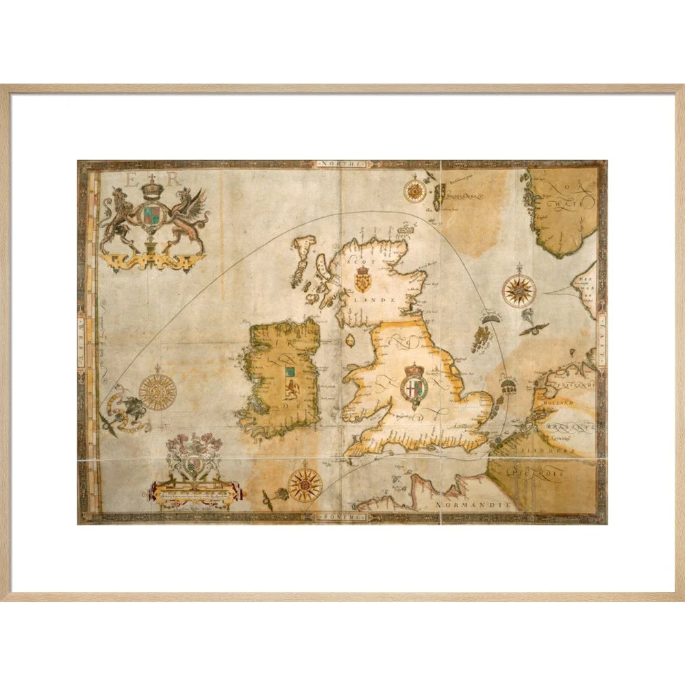
A map of the route taken by the Spanish Armada around the British Isles in 1588. Coastal locations are marked on England, Scotland and Ireland and the Spanish and English fleets are shown off the East coast of England. The map was bound into the back of Christopher Saxton's Atlas of England and Wales. It was illustrated by Robert Adams to accompany Ubuldini's account of the Armada, written in 1588. Maps.C.3.bb.5 Last folio
Creator: Robert Adams
Original: $33.50
-65%$33.50
$11.72Product Information
Product Information
Shipping & Returns
Shipping & Returns
Description
A map of the route taken by the Spanish Armada around the British Isles in 1588. Coastal locations are marked on England, Scotland and Ireland and the Spanish and English fleets are shown off the East coast of England. The map was bound into the back of Christopher Saxton's Atlas of England and Wales. It was illustrated by Robert Adams to accompany Ubuldini's account of the Armada, written in 1588. Maps.C.3.bb.5 Last folio
Creator: Robert Adams