✨ New Arrivals Just Dropped!Explore





Plan of London print
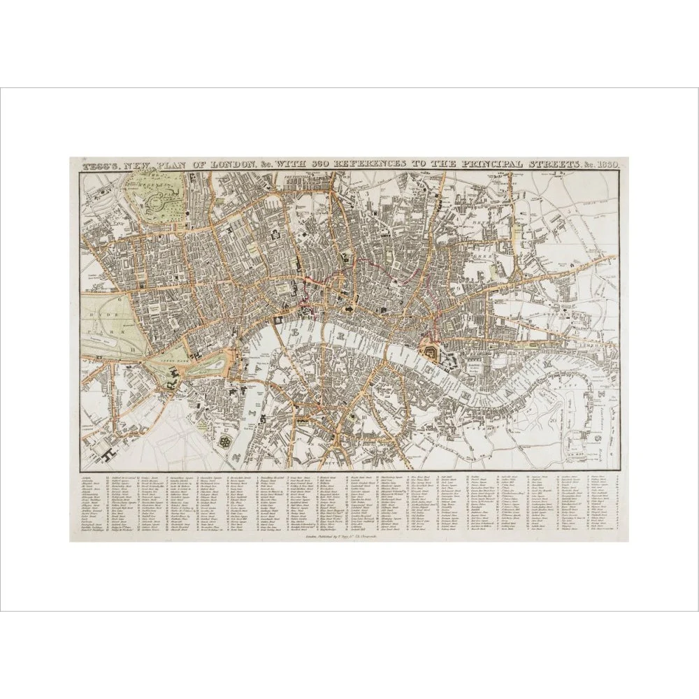
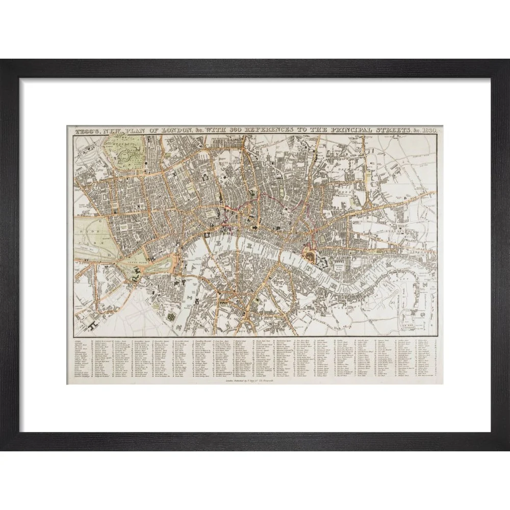
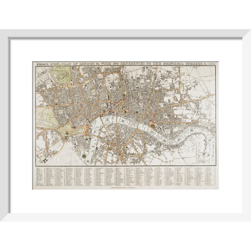
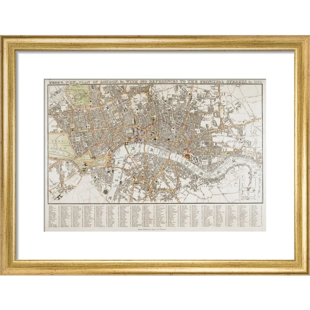
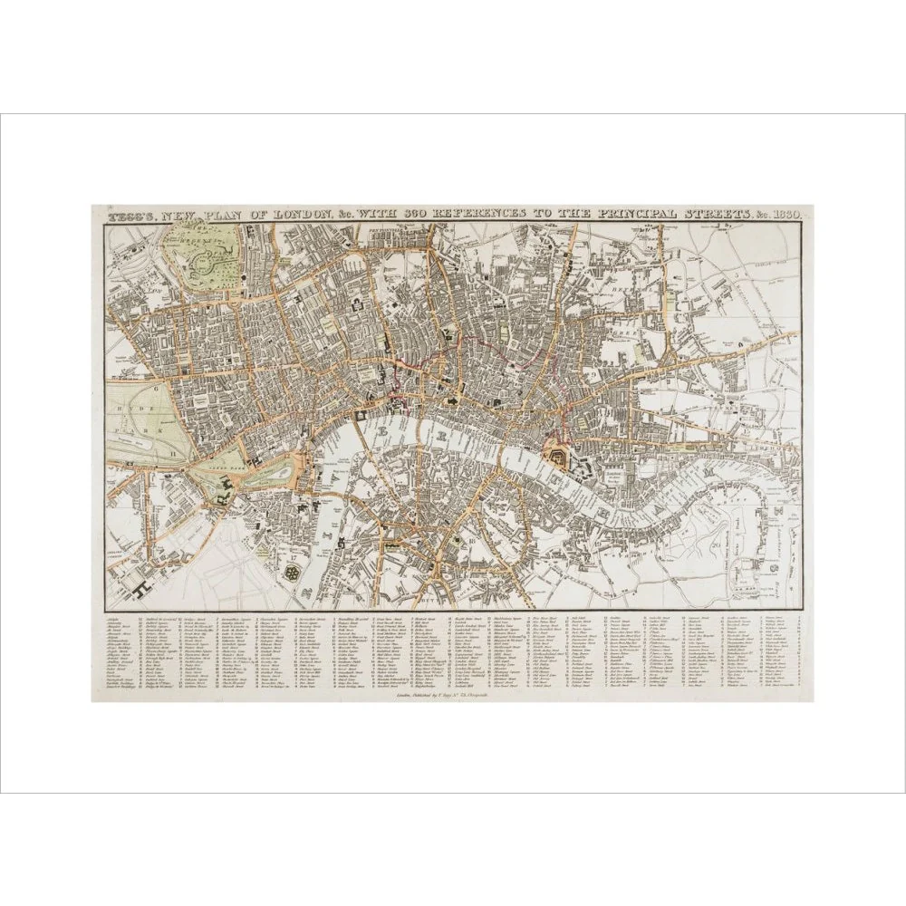
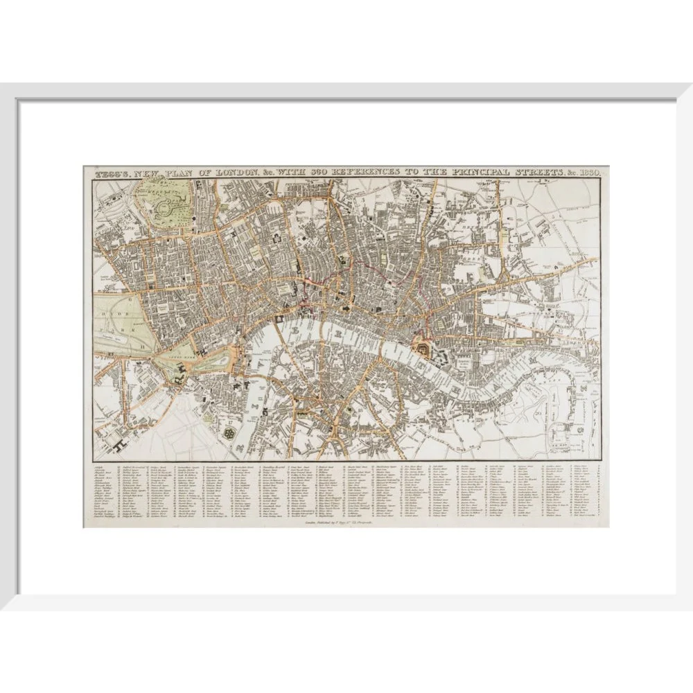
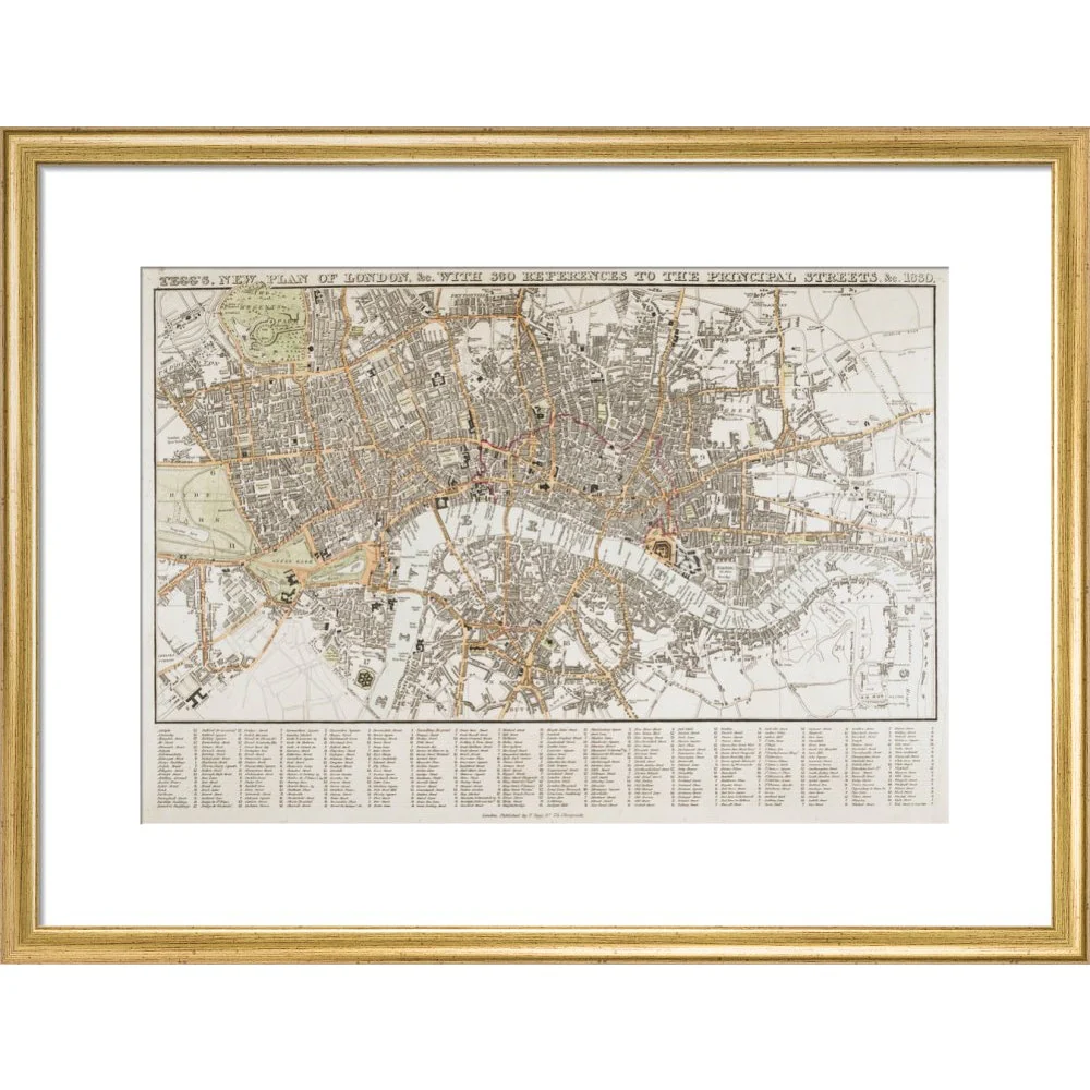
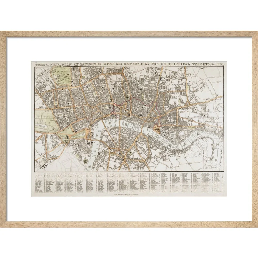
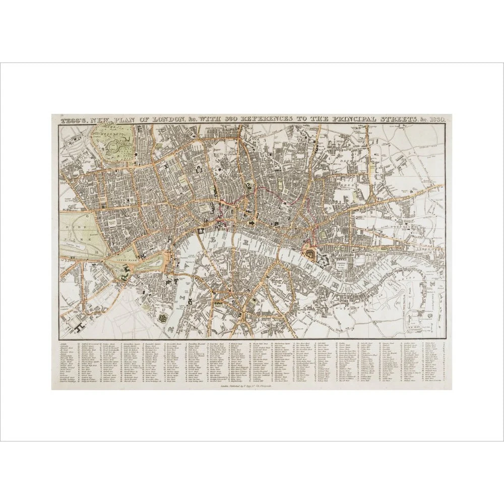
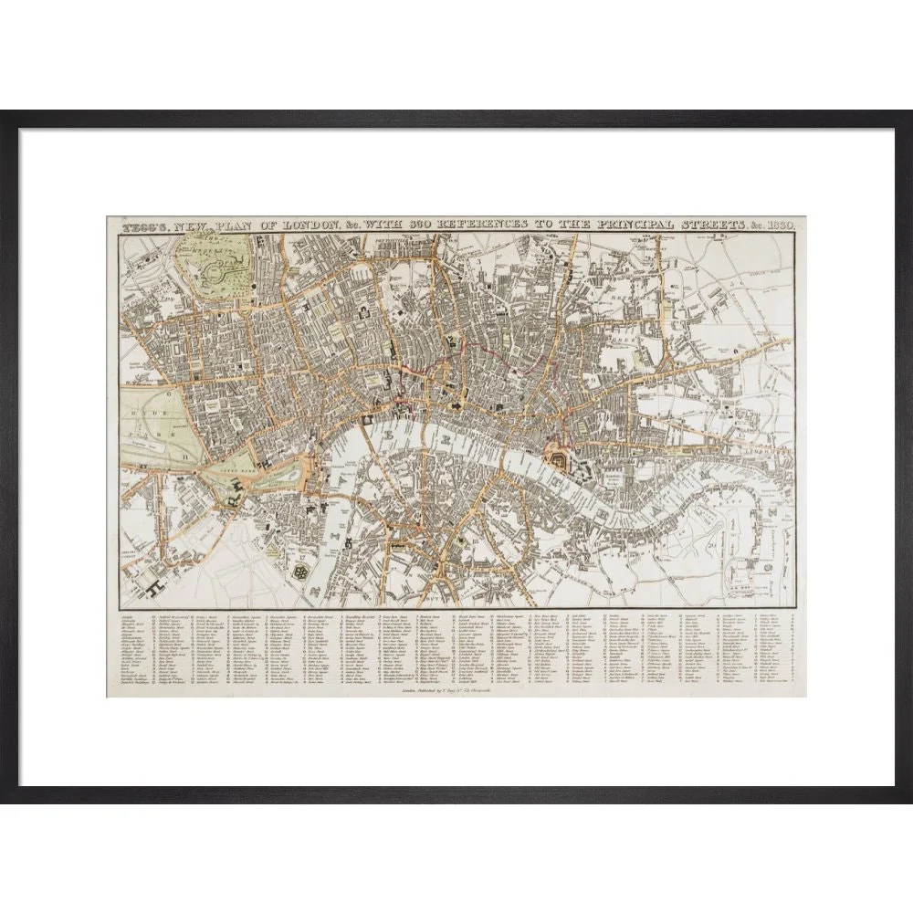
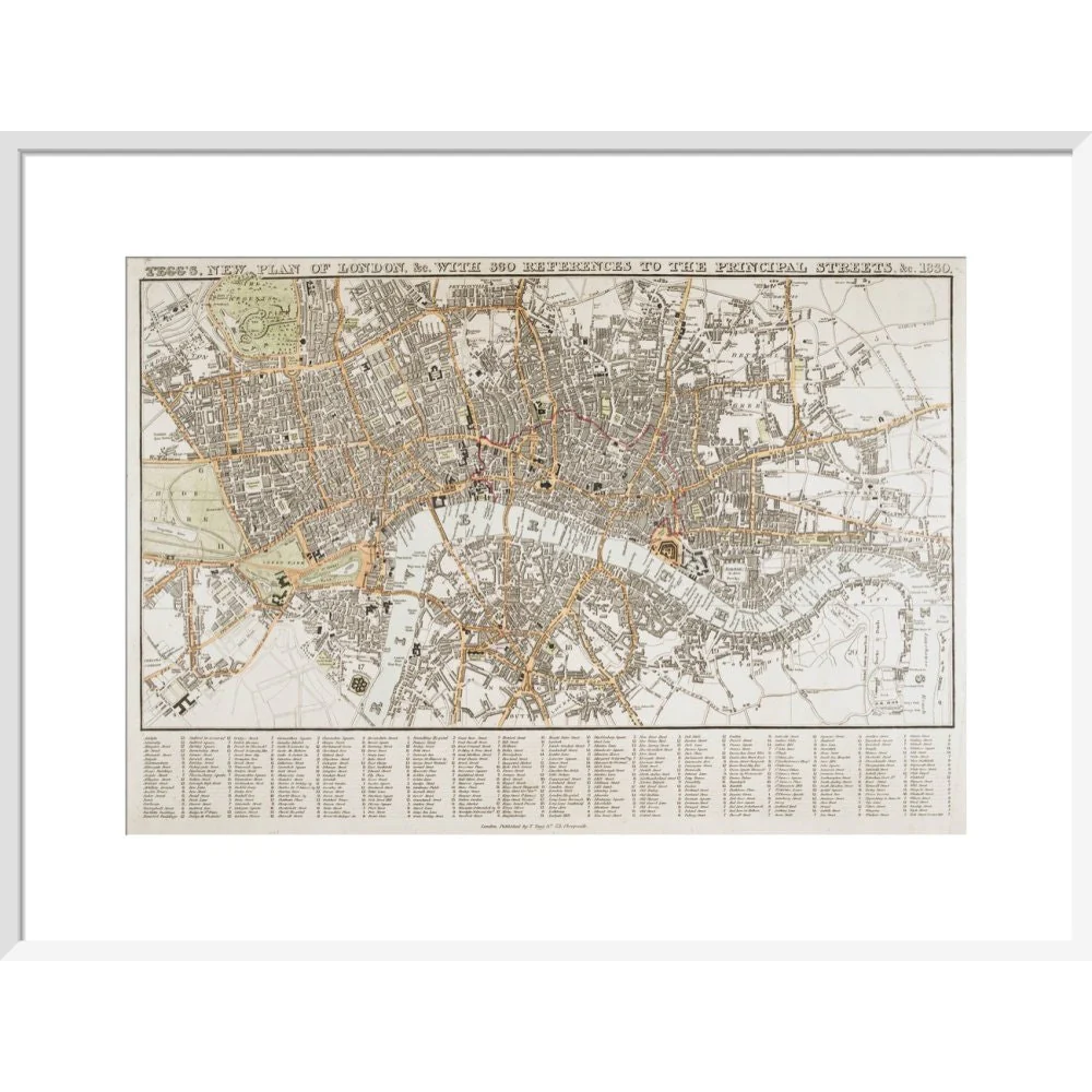
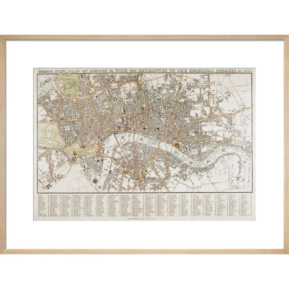
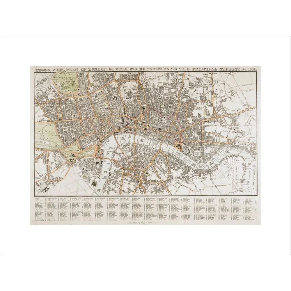
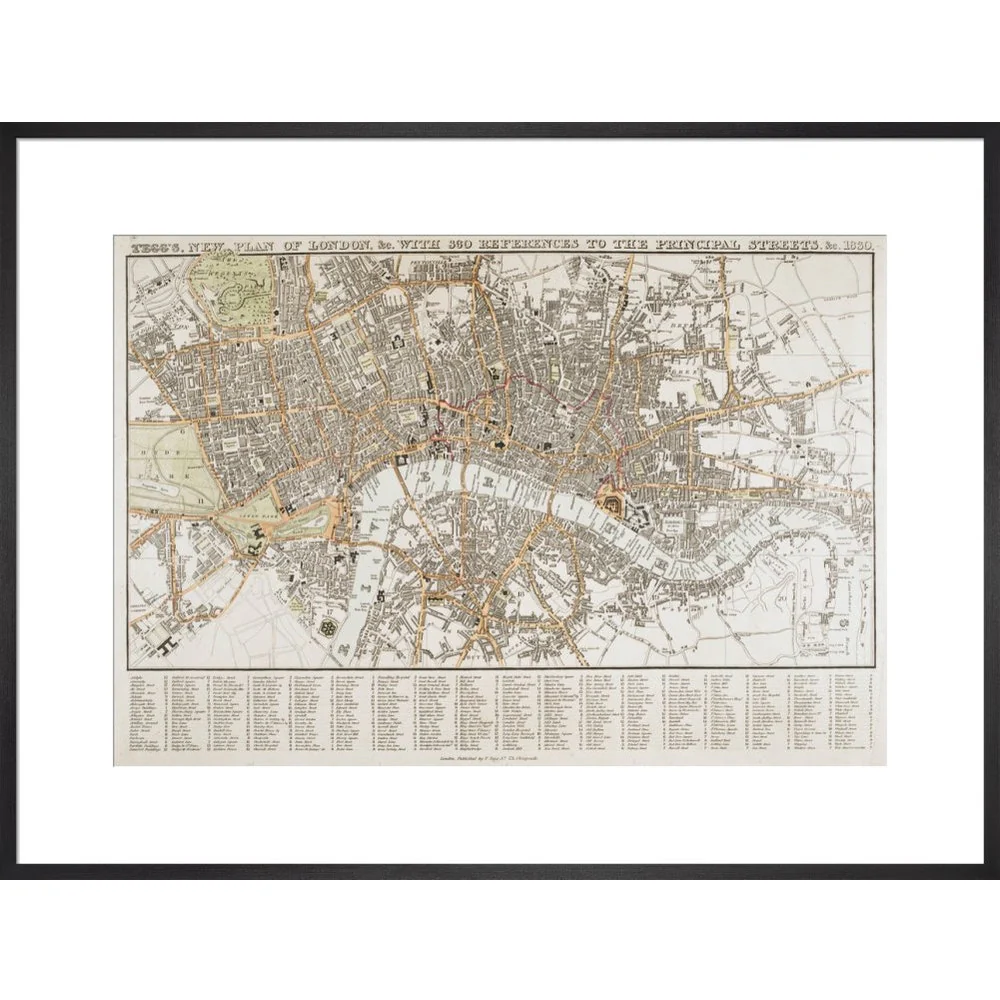
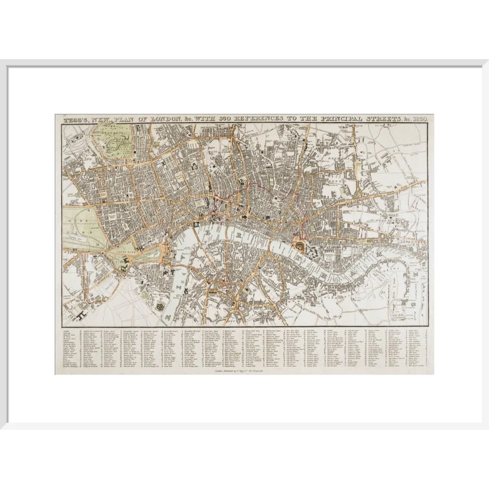
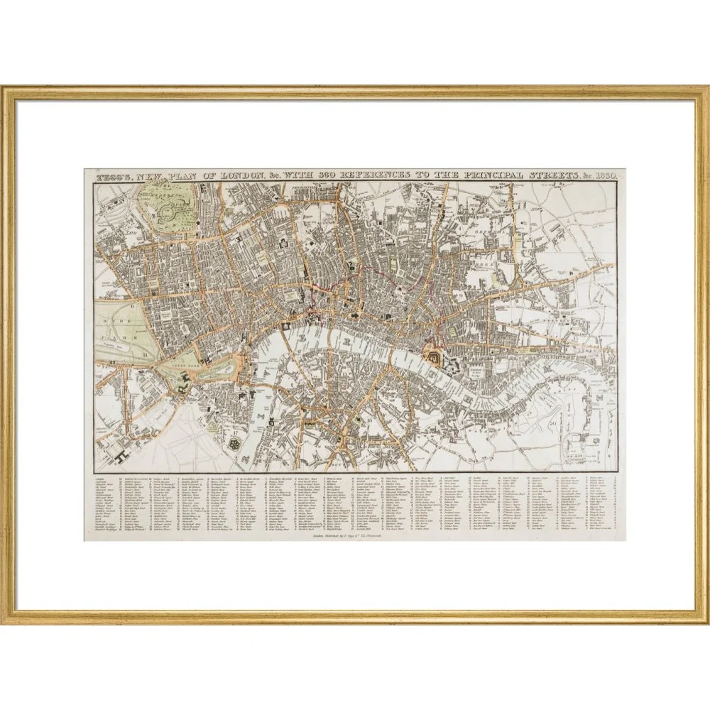
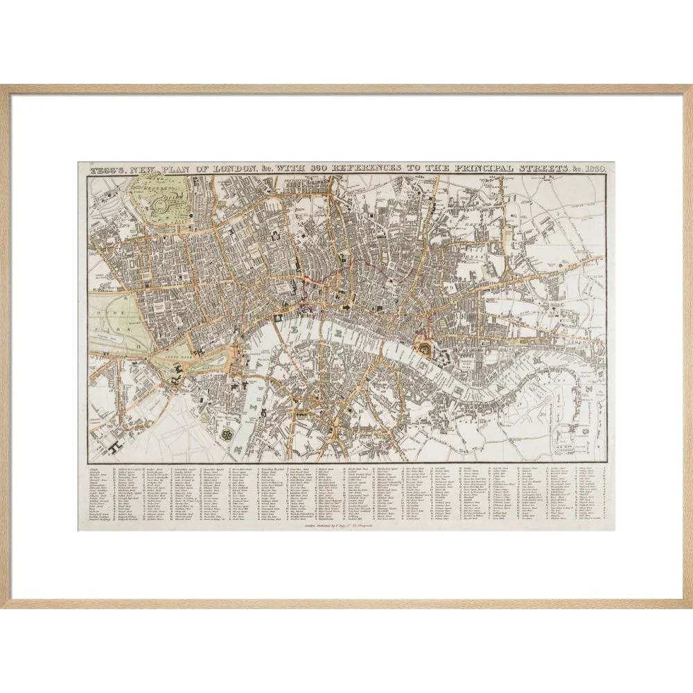
Tegg's new plan of London, with 360 references to the principal streets (London: T.Tegg, 1830). Thomas Tegg's 19th-century map of London includes an alphabetical list of key streets. The map covers the area from Regent's Park to Newington, and Hyde Park to Limehouse.
Creator: Thomas Tegg
Select Type
Select Size
Select Frame
From $33.50
Plan of London print—
$33.50
Product Information
Product Information
Shipping & Returns
Shipping & Returns
Description
Tegg's new plan of London, with 360 references to the principal streets (London: T.Tegg, 1830). Thomas Tegg's 19th-century map of London includes an alphabetical list of key streets. The map covers the area from Regent's Park to Newington, and Hyde Park to Limehouse.
Creator: Thomas Tegg