







Cross's Map of London print
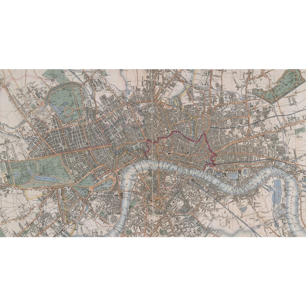
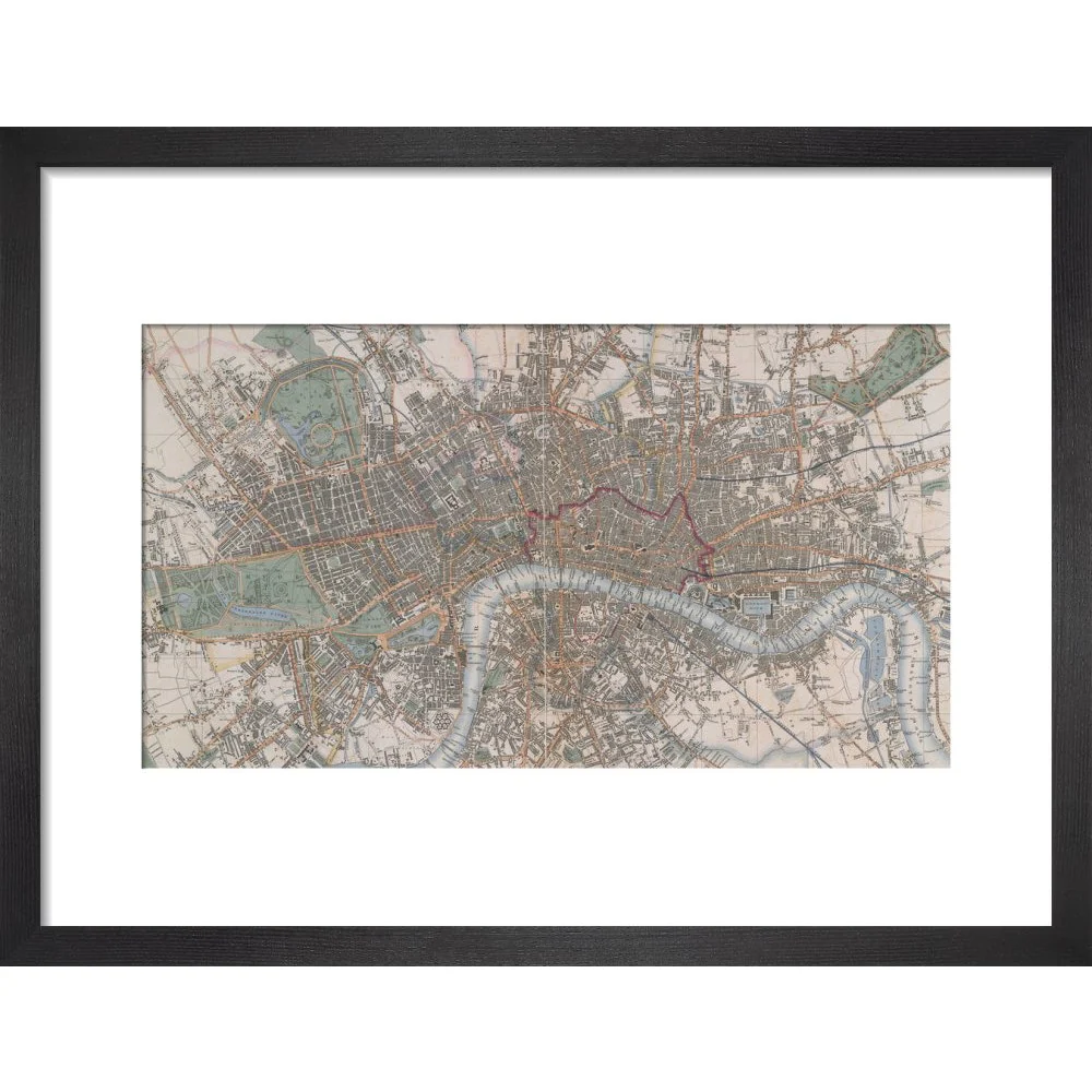
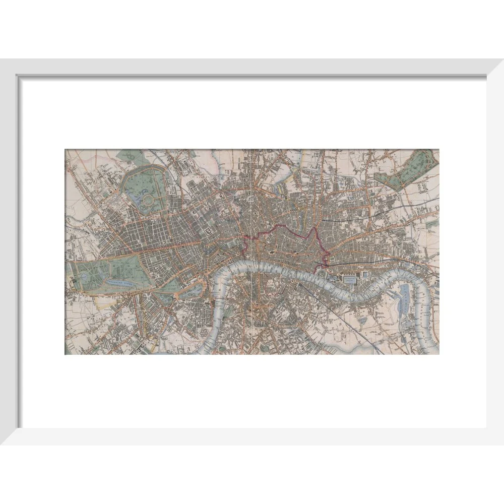
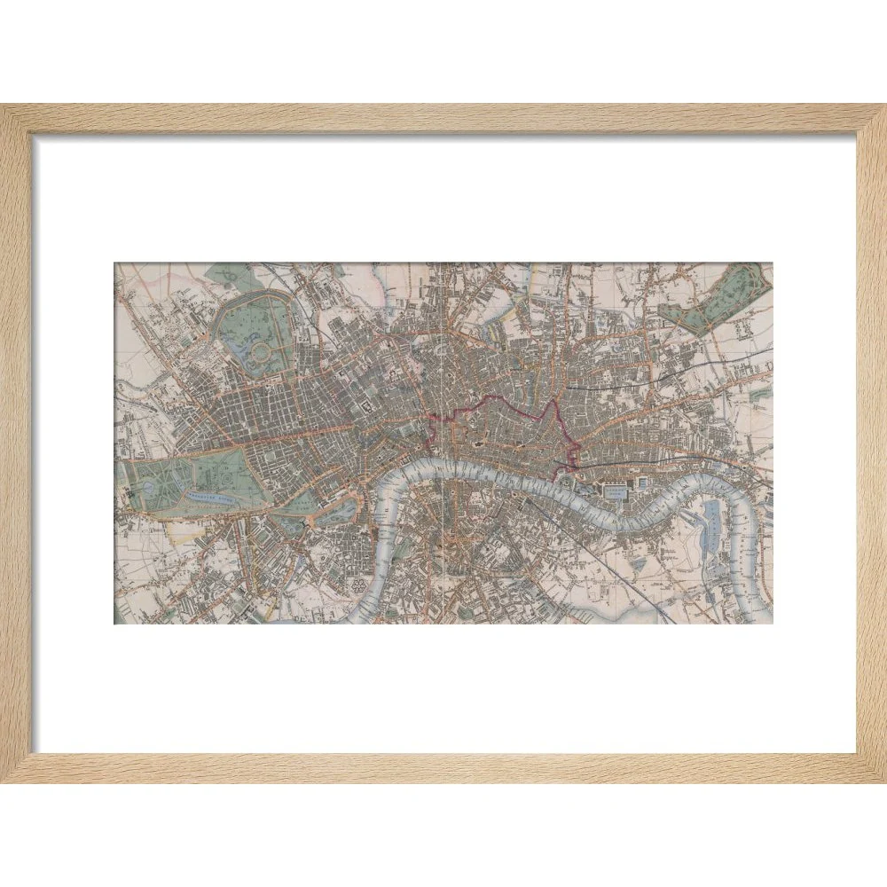
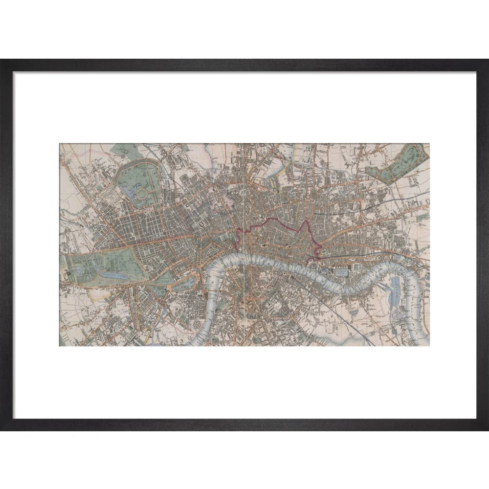
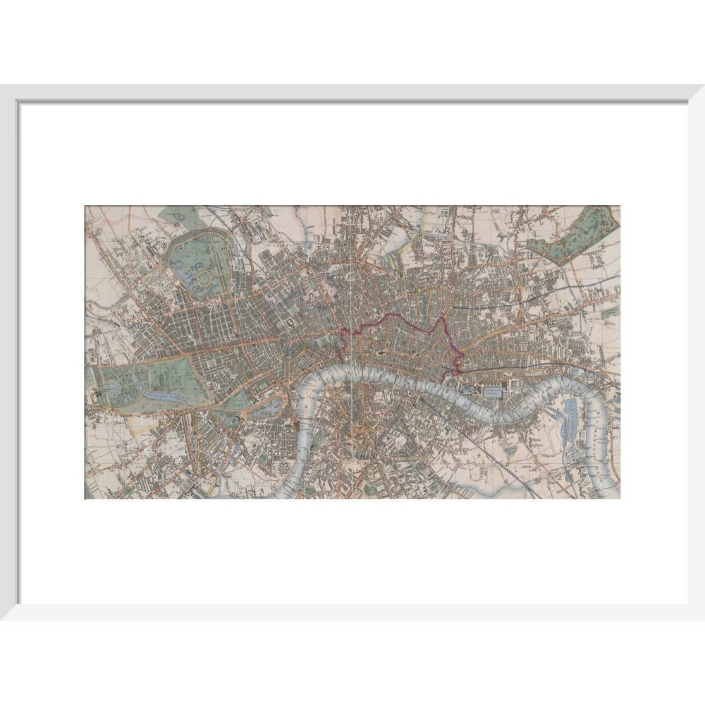
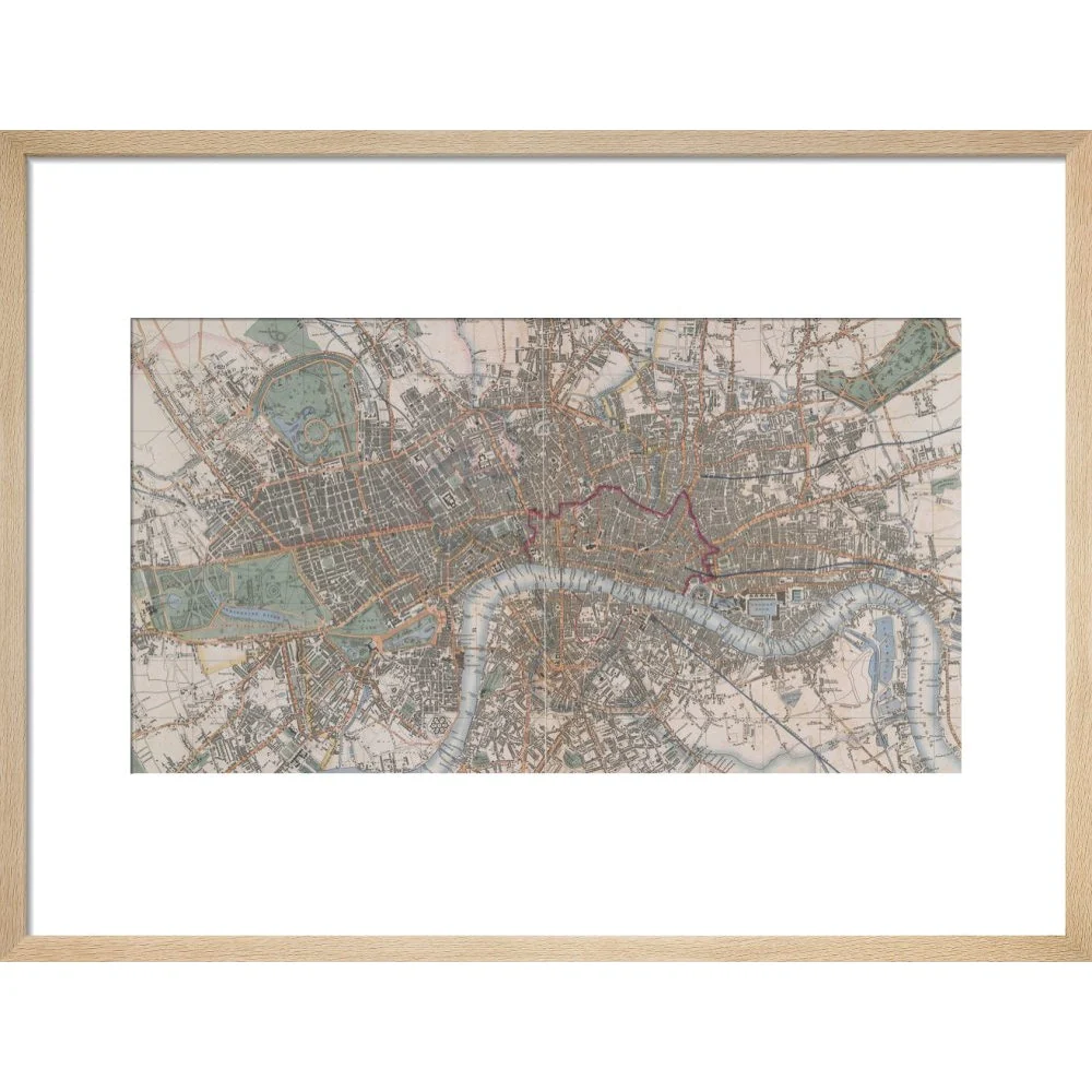
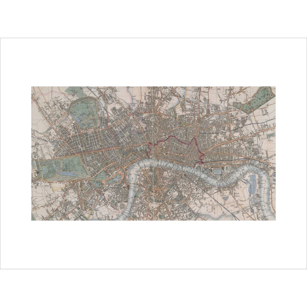
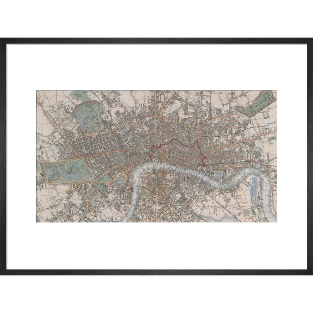
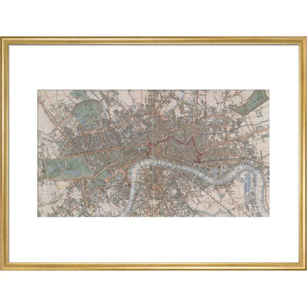
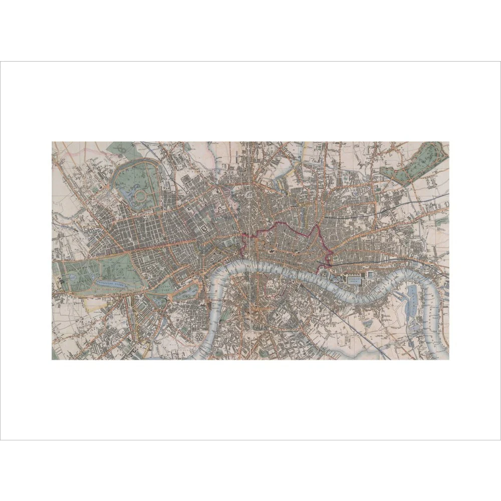
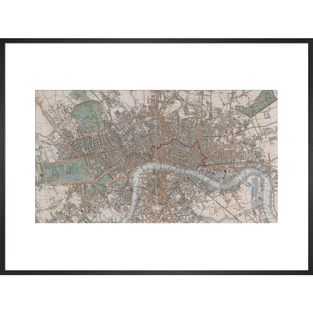
This colourful map created in 1844 shows Victorian London, as Charles Dickens would have experienced it. The detailed map presents from Kensington Gardens in the West to the West India Docks in the East, and from Victoria Park in the north to Millbank in the South. Locations and landmarks featured include Penitentary House, Vauxhall Station, Westminster Scholars Garden, Constitution Hill in Green Park, Buckingham Palace, Earl's Court, Primrose Hill, Chalk Farm, Drunken Dock, Dog & Duck stairs. BL Maps Crace VII/254.
Creator: Cross
Original: $33.50
-65%$33.50
$11.72Product Information
Product Information
Shipping & Returns
Shipping & Returns
Description
This colourful map created in 1844 shows Victorian London, as Charles Dickens would have experienced it. The detailed map presents from Kensington Gardens in the West to the West India Docks in the East, and from Victoria Park in the north to Millbank in the South. Locations and landmarks featured include Penitentary House, Vauxhall Station, Westminster Scholars Garden, Constitution Hill in Green Park, Buckingham Palace, Earl's Court, Primrose Hill, Chalk Farm, Drunken Dock, Dog & Duck stairs. BL Maps Crace VII/254.
Creator: Cross