✨ New Arrivals Just Dropped!Explore



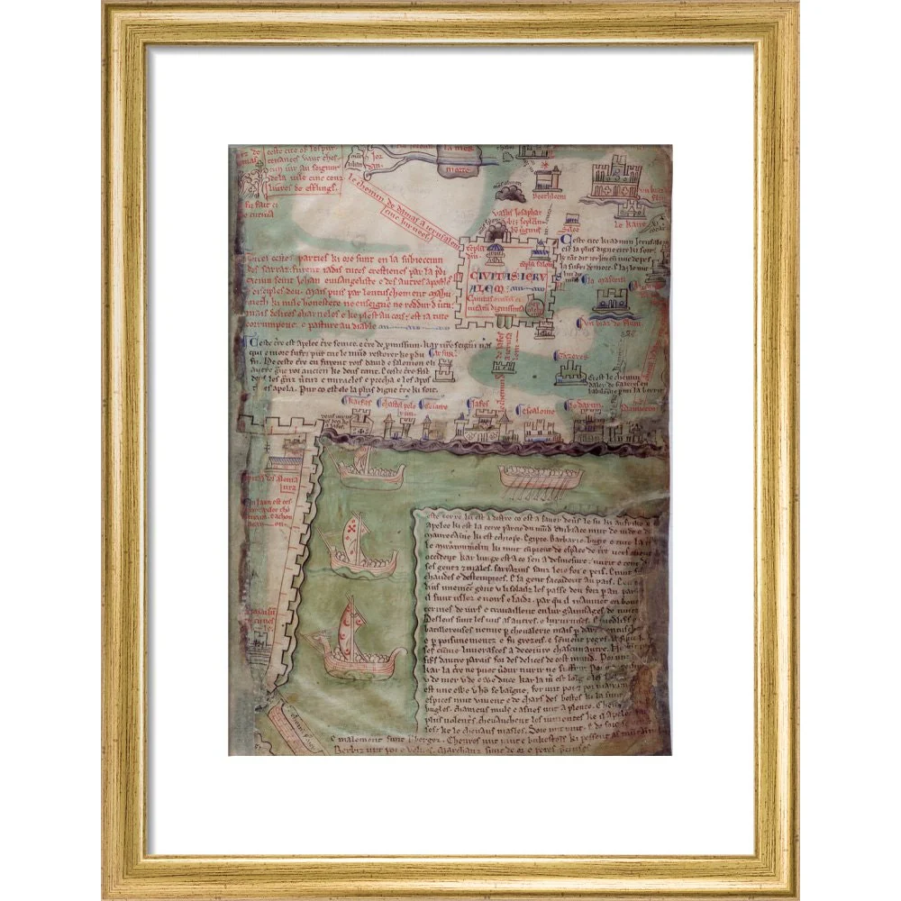





Map of Jerusalem print
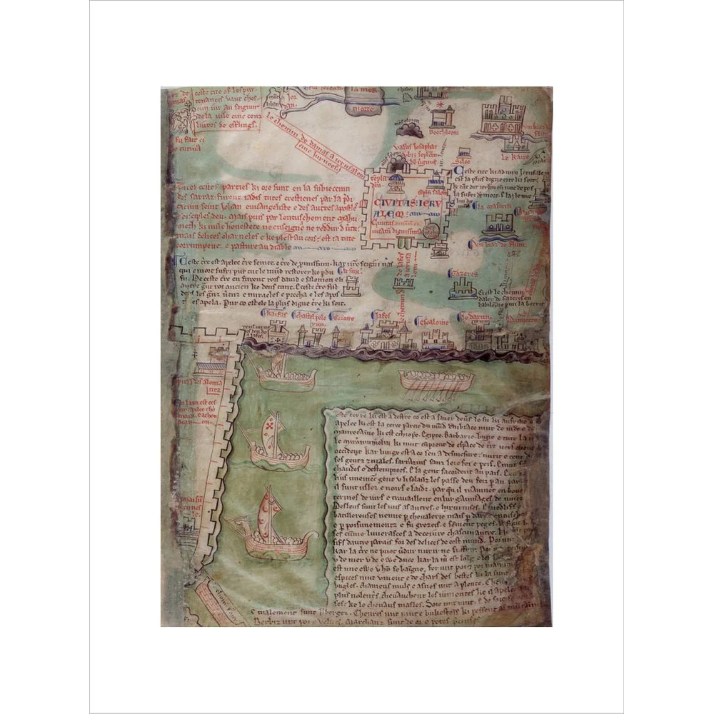
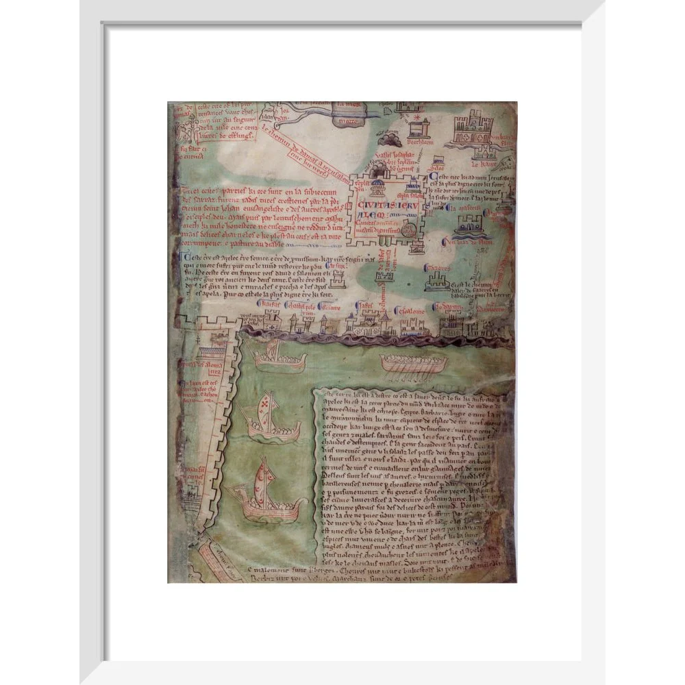
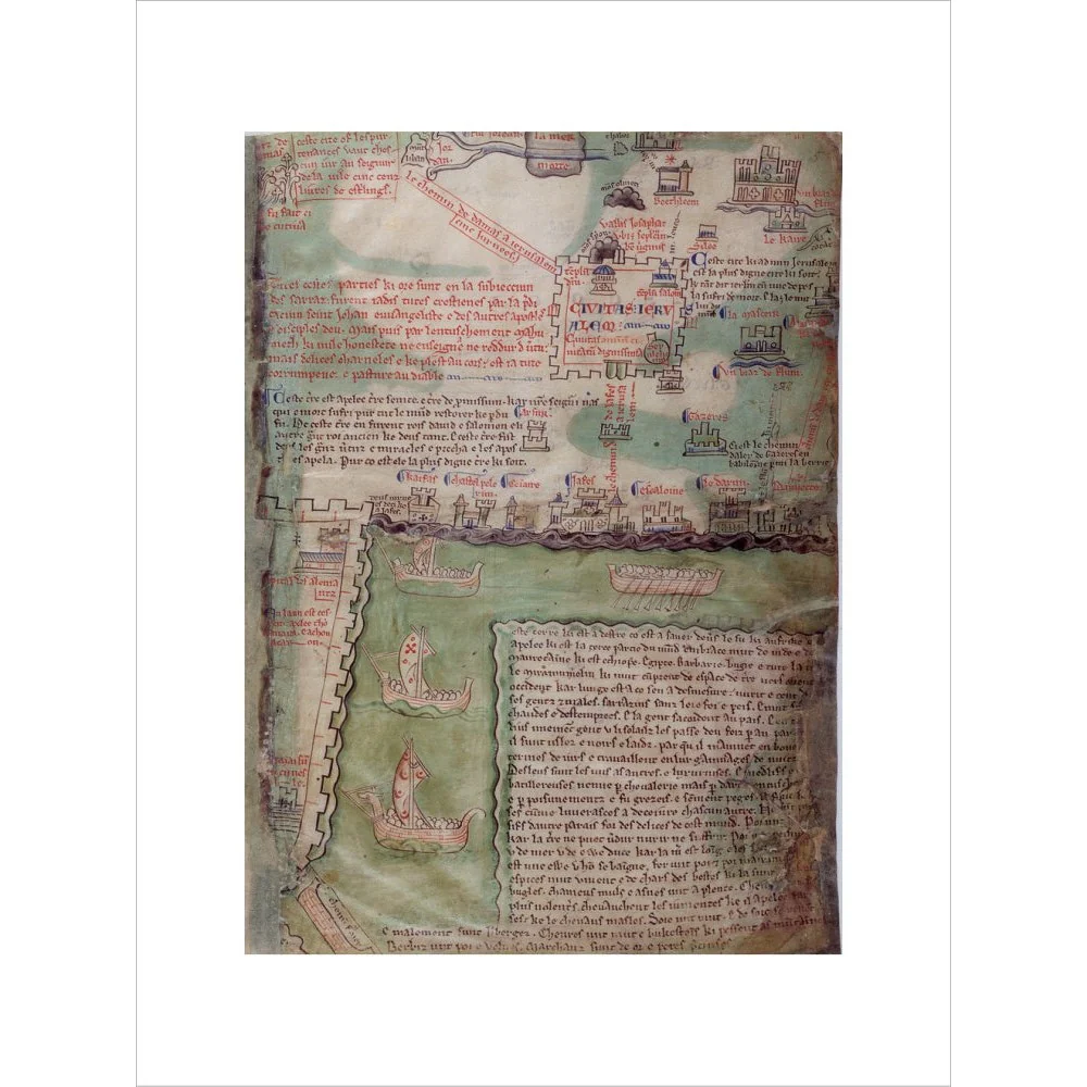
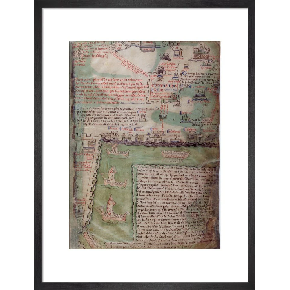
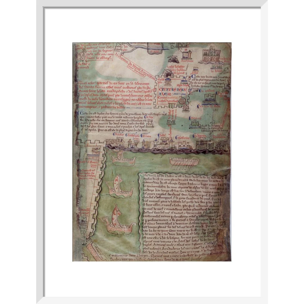
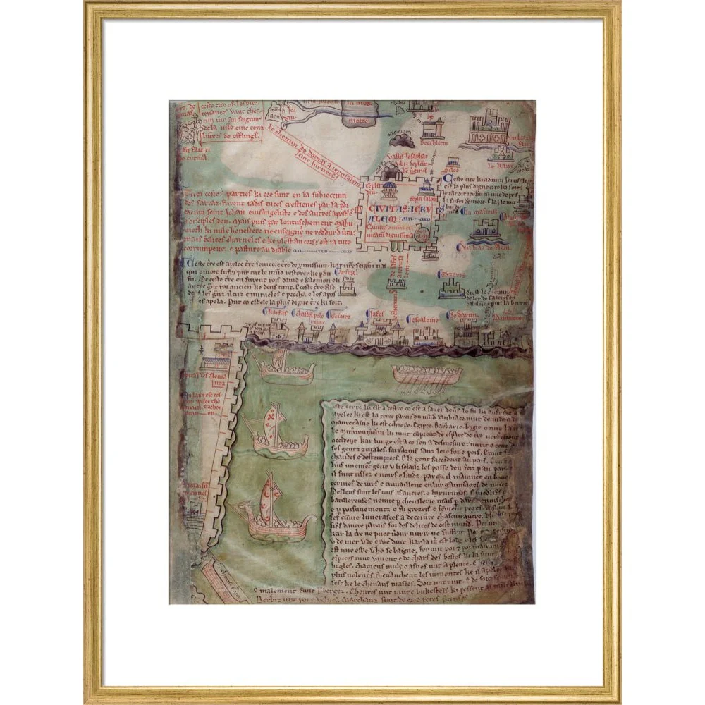
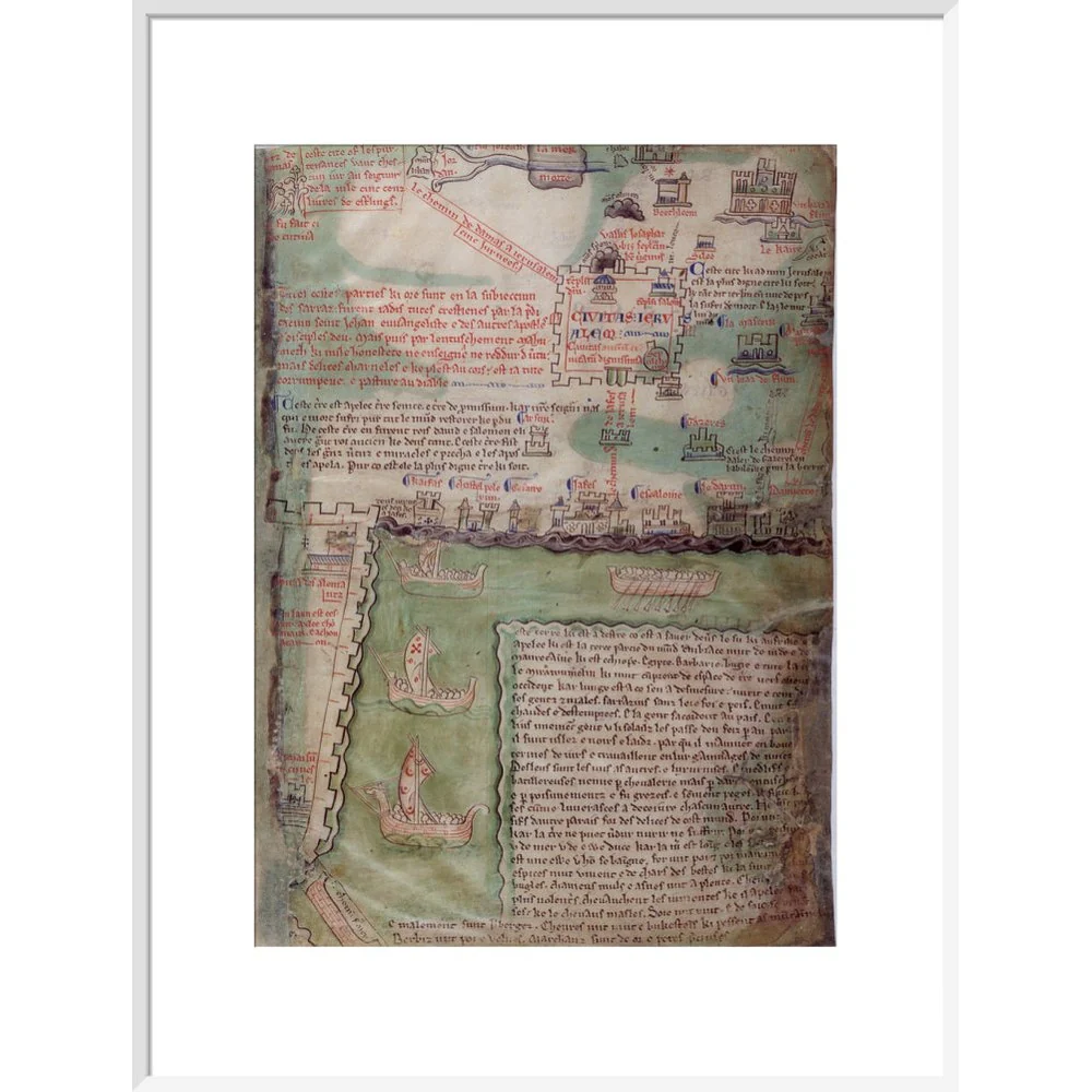
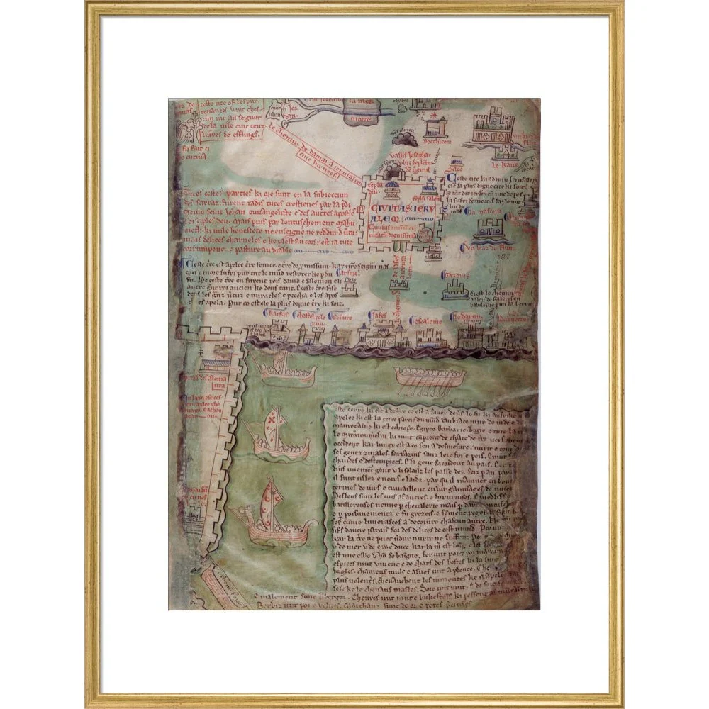
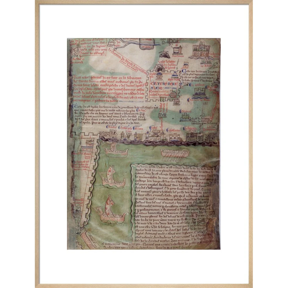
This section of the mid-13th century Acre map by Matthew Paris shows Jerusalem in the top right corner, with two temples, and the edge of the city of Acre can be seen in the lower left half of the map. Above Jerusalem, Bethlehem is depicted, as is the lower part of Nazareth. Royal MS 14 C.vii, f.5r.
Creator: Matthew Paris
Select Type
Select Size
Select Frame
From $11.72
Original: $33.50
-65%Map of Jerusalem print—
$33.50
$11.72Product Information
Product Information
Shipping & Returns
Shipping & Returns
Description
This section of the mid-13th century Acre map by Matthew Paris shows Jerusalem in the top right corner, with two temples, and the edge of the city of Acre can be seen in the lower left half of the map. Above Jerusalem, Bethlehem is depicted, as is the lower part of Nazareth. Royal MS 14 C.vii, f.5r.
Creator: Matthew Paris